Şīr Banī Yās 1969
Şīr Banī Yās 1969
From: EGP460.00
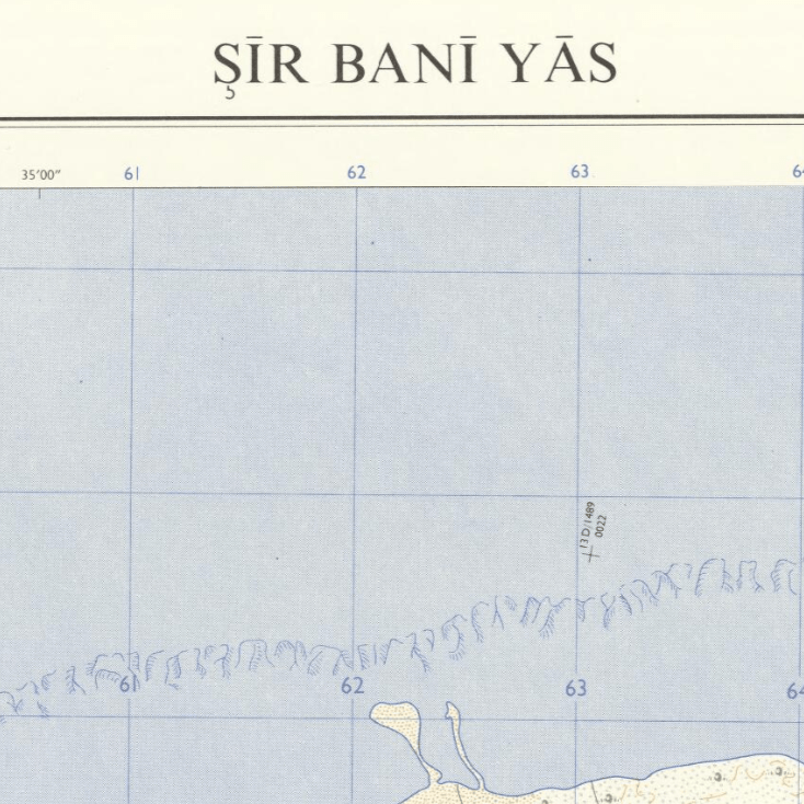
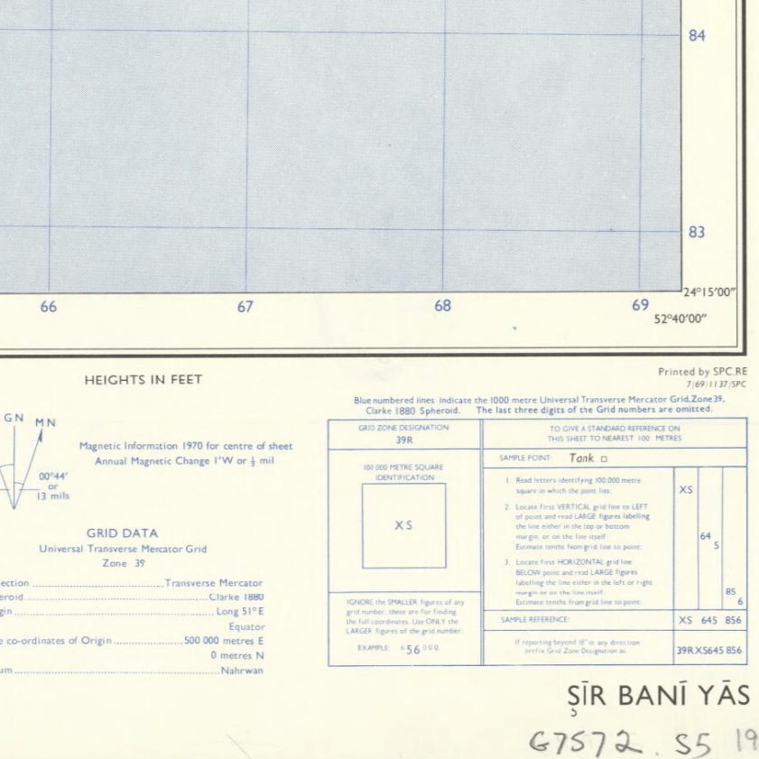
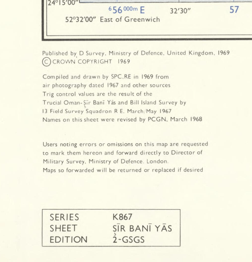
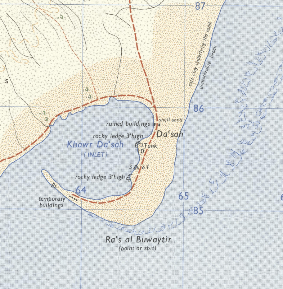
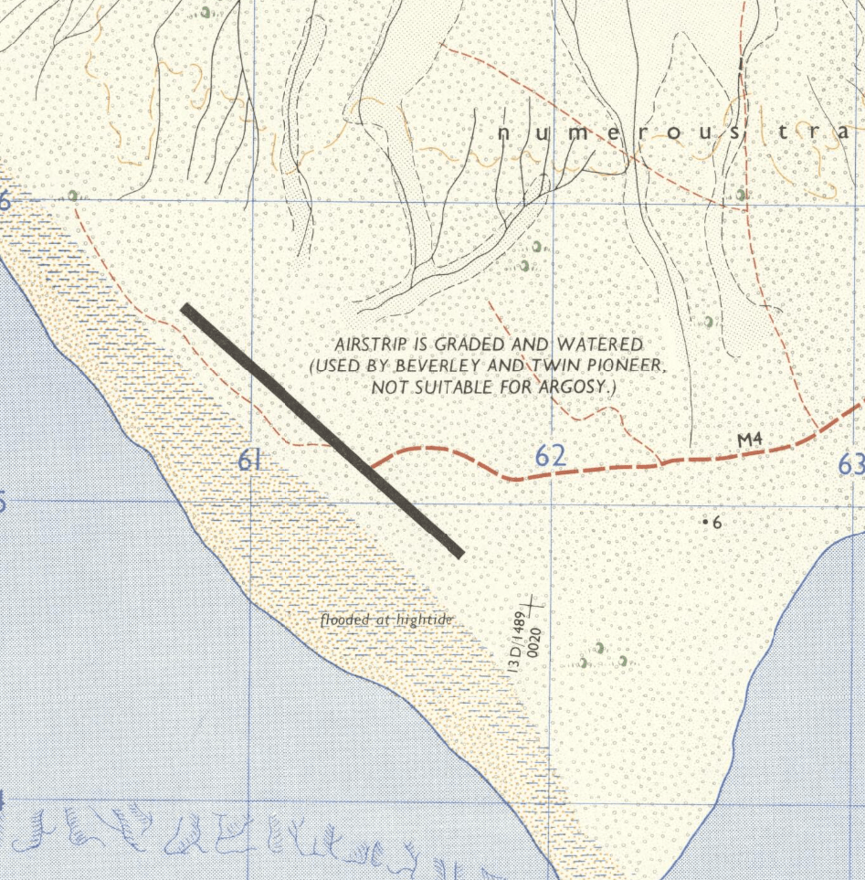
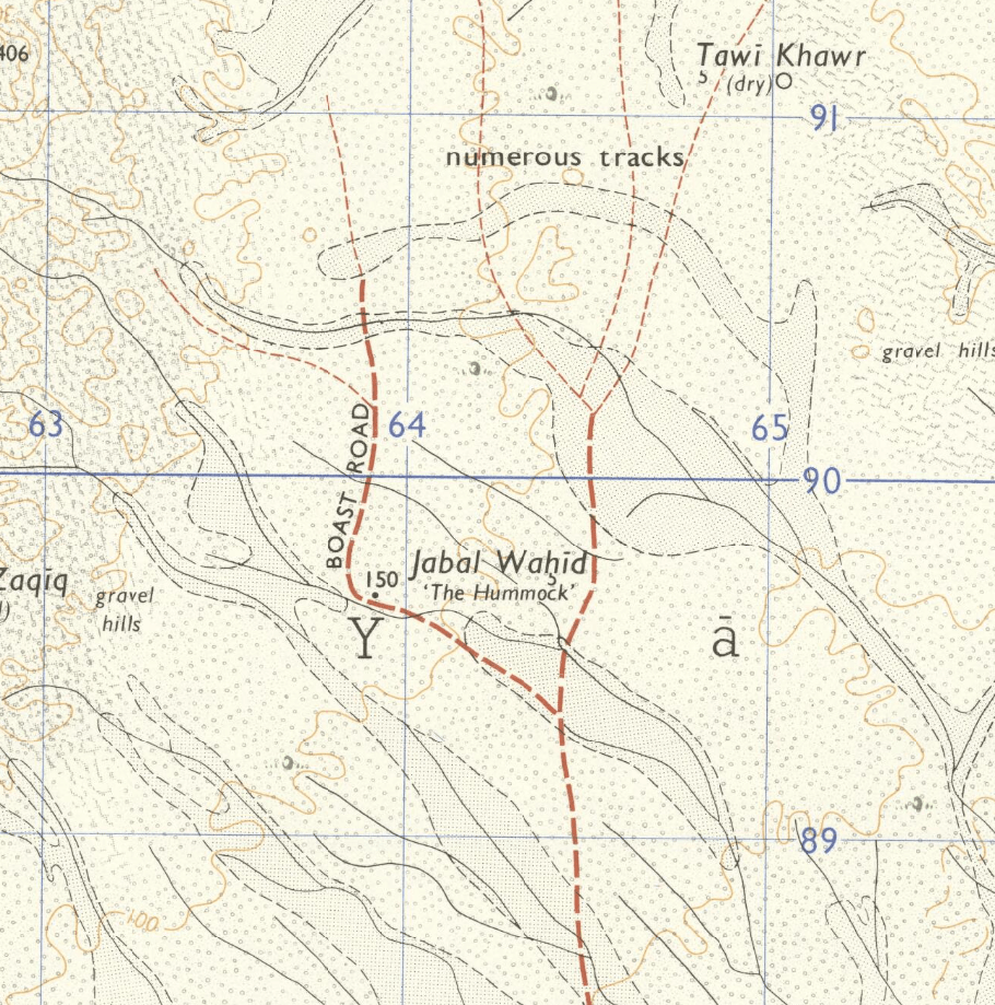
This Kharita™ was compiled and drawn by the royal engineers of the Great British War Office in 1969 from air photography. The map shows the Islands’ roads, builduings, tracks, corals dune and more. It also indicates the direction of true north in relation to magnetic and grid north.
Sir Bani Yas Island is part of the Al Gharbia region of the United Arab Emirates. It’s dominated by the Arabian Wildlife Park, with its roaming giraffes, cheetahs and gazelles. Multiple archaeological sites across the island include the ruins of an ancient Christian monastery. Salt dome hills define the island’s desert interior. The coast features beaches, sea kayak routes and a shipwreck.
Map Info
Creator: Great British War Office
Date: 1969
Language(s): English
Scale: 1:25,000
Location: Şīr Banī Yās, United Arab Emirates
| Size | A3, A2, A1, A0 |
|---|
Related products
-
Damas 1939
From: EGP460.00 -
Alexandria 1933
From: EGP460.00 -
Bounds Map of Cairo 1946
From: EGP460.00 -
Kairo Ägypten 1941
From: EGP460.00 -
Commercial Map of the Near East 1921
From: EGP460.00 -
Antarctica 1912
From: EGP460.00 -
El Mina – Tripoli 1958
From: EGP460.00 -
Damietta 1941
From: EGP460.00 -
Iran Natural Vegetation 1960-1972
From: EGP460.00 -
Bible Lands & The Cradle of Western Civilization 1946
From: EGP460.00 -
A New Map of Cairo 1966
From: EGP460.00 -
Kuala Lumpur 1957
From: EGP460.00


