Des Spheres 1786
From: EGP460.00
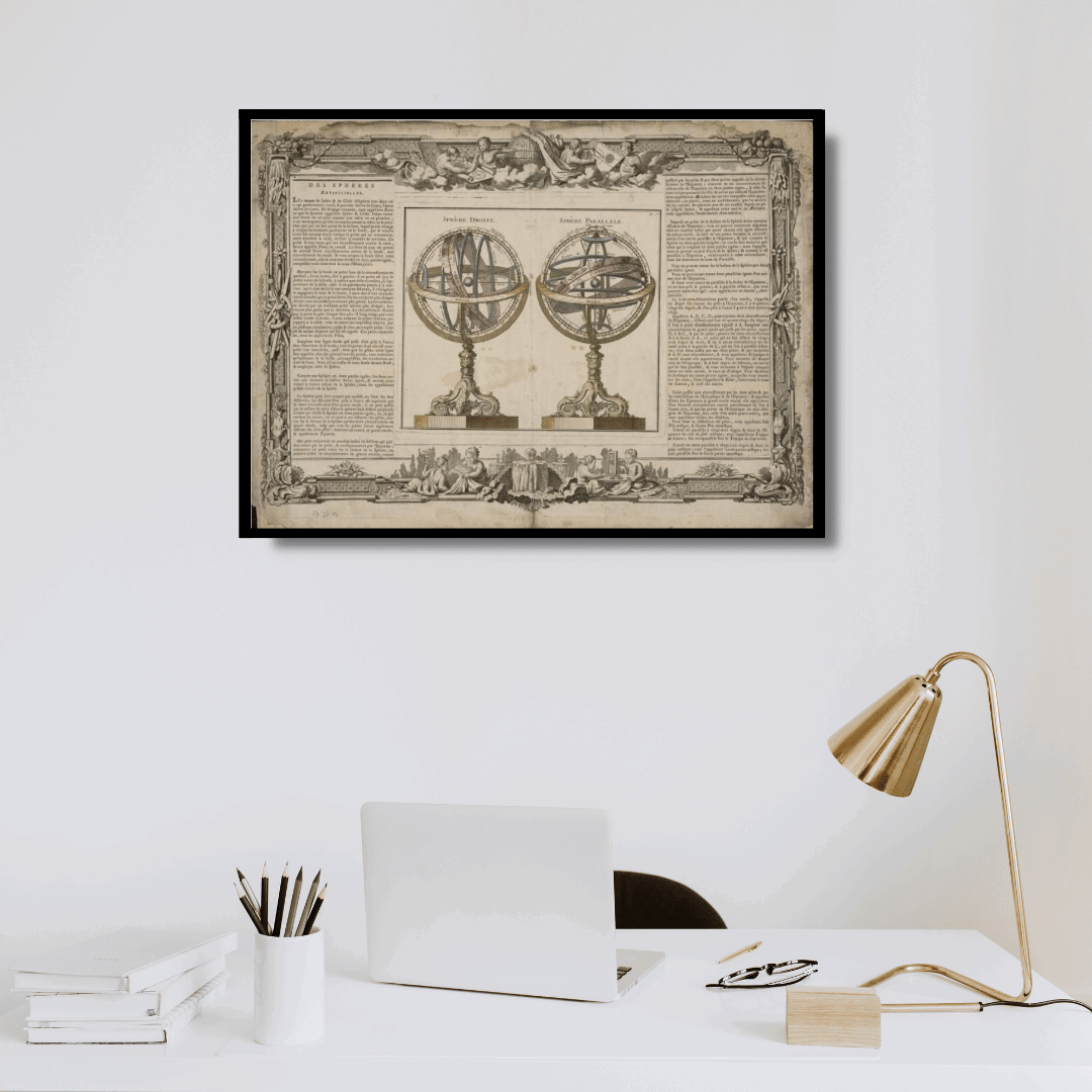
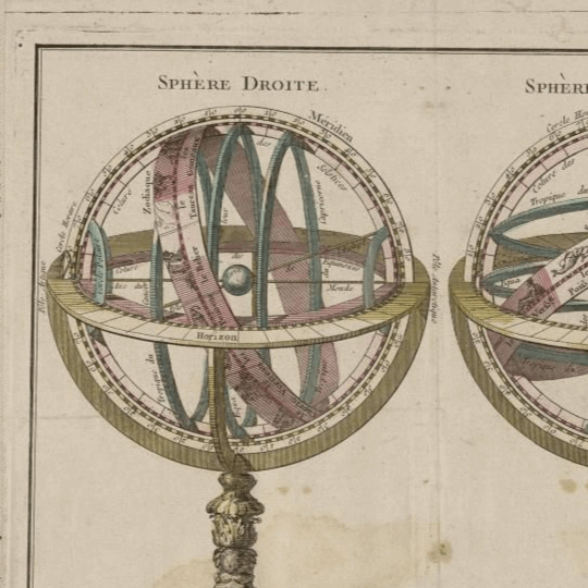
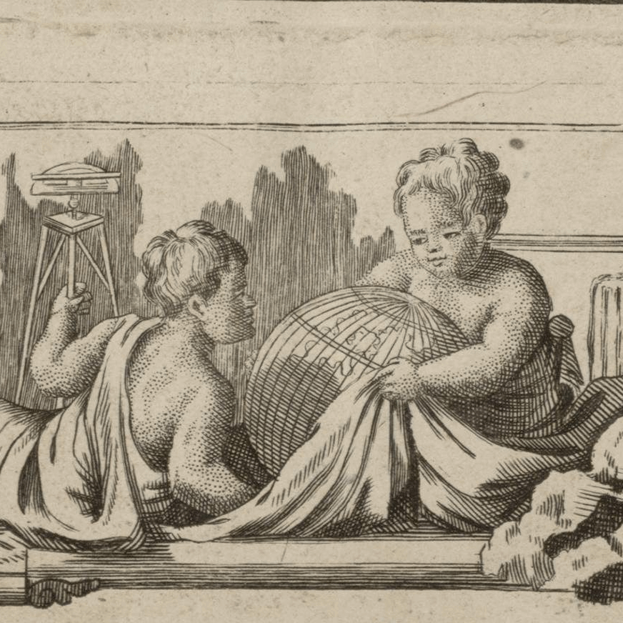
This is a decorative chart by French cartographer Louis Brion de la Tour dating to 1786. It depicts two armillary spheres based on the Ptolemaic model. The first sphere is shown on its side with axis points at the horizon while the second sphere depicts the usual upright orientation.
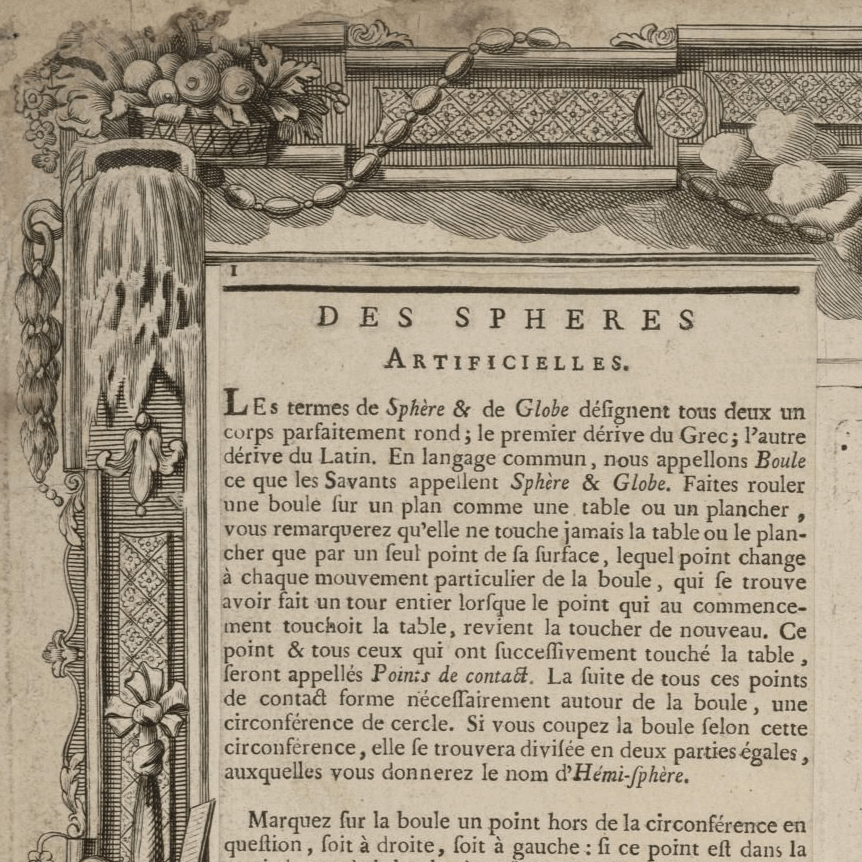
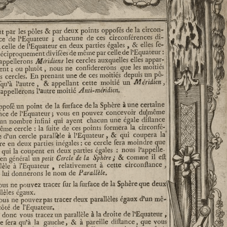
To the left and right of the map are paste downs of French text with remarks and descriptions of the map. All of which is surrounded by an elaborate, decorative border featuring floral arrangements, surveying tools elaborate baroque scalloping, and a winged globe. This map was issued in the most deluxe edition of Desnos’ 1786: Atlas General Methodique et Elementaire, pour l´ edude de la Geographie et de l´Histoire Moderne
Map Info
Creator: Louis Brion de la Tour
Date: 1786
Language(s): French
Scale: –
Location: World
| Size | 36 x 24.5, 49 x 36, 72 x 49 |
|---|
People Also Purchased
-
Postage Stamps Stickers
EGP90.00 -
Frame
From: EGP250.00 -
Postcards Egypt 1826
EGP50.00 -
Magnifying Glass
EGP120.00
Related products
-
Angling In Troubled Waters: a Comic Map of Europe 1899
From: EGP460.00 -
Antarctica 1912
From: EGP460.00 -
Commercial Map of the Near East 1921
From: EGP460.00 -
Damas 1939
From: EGP460.00 -
Geological Map of Anatolia 1920
From: EGP460.00 -
Kuala Lumpur 1957
From: EGP460.00 -
Map of Cairo 1914
From: EGP460.00 -
Map of The Far East 1946
From: EGP570.00 -
Middle East and Arabia 1766
From: EGP460.00 -
Partition of Palestine 1949
From: EGP460.00 -
Port of Alexandria 1882
From: EGP460.00 -
Sinai & the Desert of the Wanderings 1874
From: EGP460.00


