Pictorial Map of Japanese Soviet Relations 1937
Pictorial Map of Japanese Soviet Relations 1937
From: EGP460.00
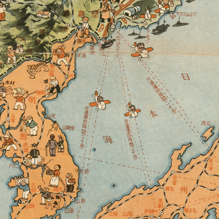
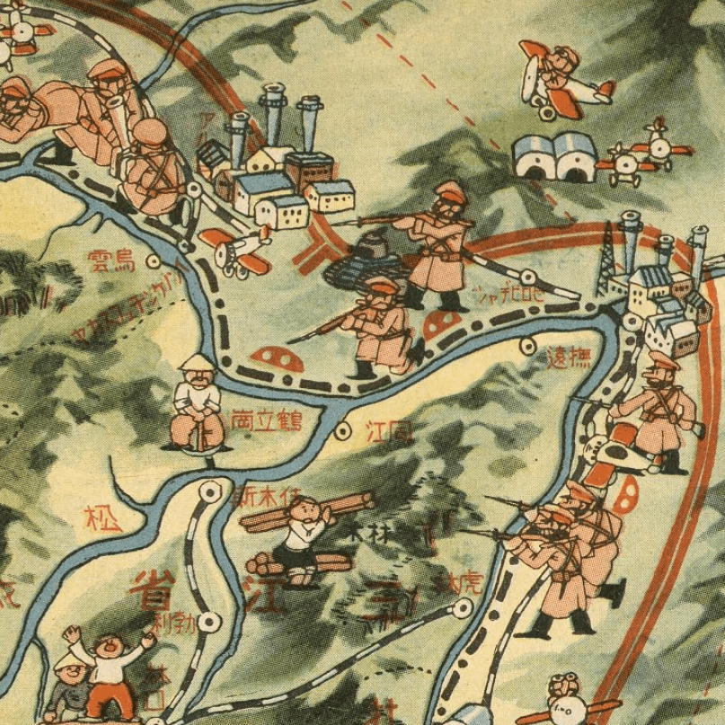
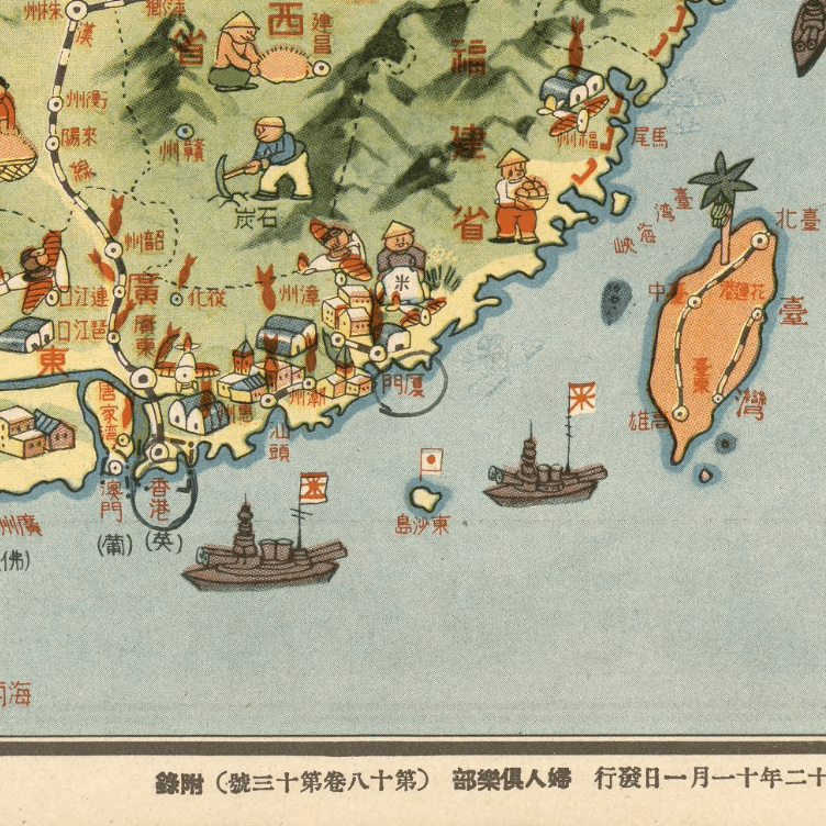
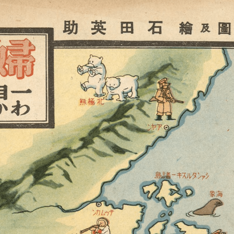
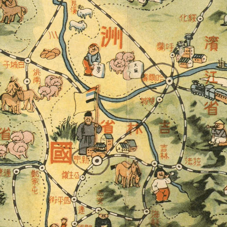
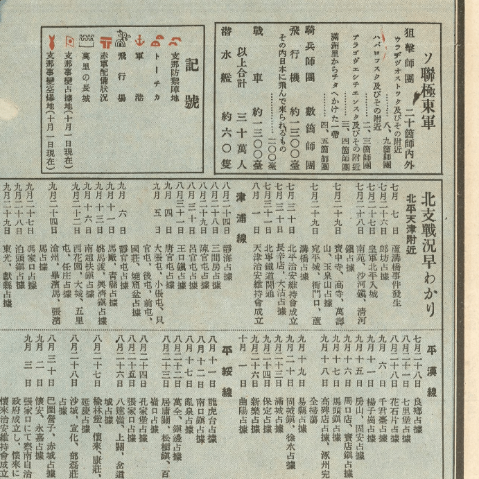
This 1937 pictorial Kharita details the development of the Sino-Japanese Conflict and the relationship of the Soviet Union and Japan at that time.
Includes numerous pictorial illustrations of people in their respective region on the map. Names of major cities are given, and several charts, such as a chronological chart of development of Sino-Japanese War and the chart of Soviet Union’s army’s armaments.
Relief shown by shading and pictorially.
Map Info
Creator: Ishida Eisuke
Date: 1937
Language(s): Japanese
Scale: –
Location: East Asia
| Size | A2, A1, A0, A3 |
|---|
Related products
-
Alexandria 1933
From: EGP460.00 -
Geology of the Kingdom of Saudi Arabia 1958
From: EGP460.00 -
Lebanon 1926
From: EGP460.00 -
Kairo Ägypten 1941
From: EGP460.00 -
Commercial Map of the Near East 1921
From: EGP460.00 -
Antarctica 1912
From: EGP460.00 -
Map of Arab League States 1960
From: EGP460.00 -
Gaza 1917
From: EGP460.00 -
Geological Map of Anatolia 1920
From: EGP460.00 -
Khartoum 1952
From: EGP460.00 -
Jerusalem 1942
From: EGP460.00 -
City of Manila & Vicinity 1955
From: EGP460.00


