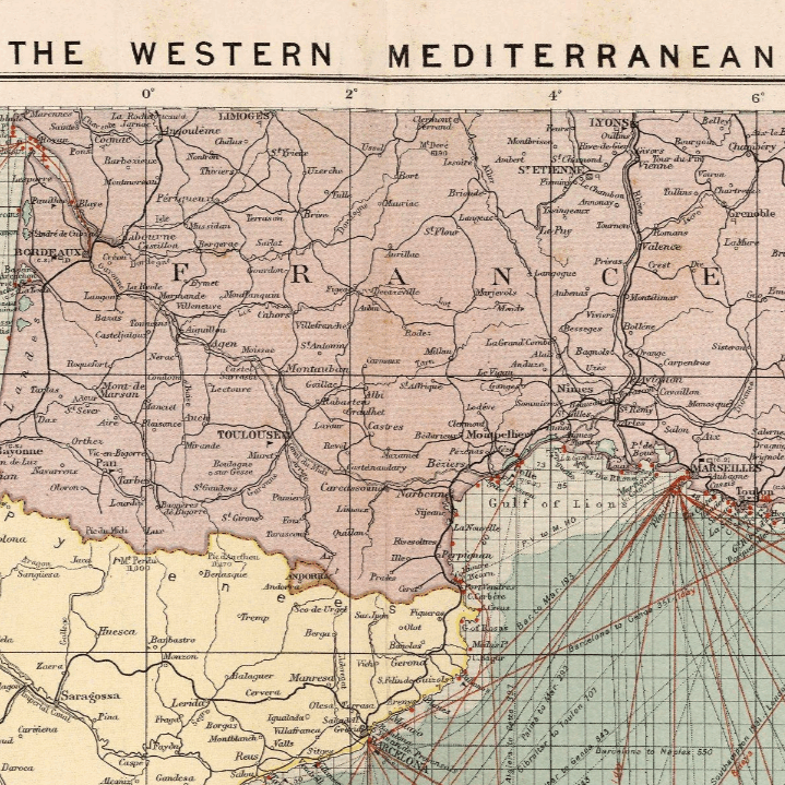
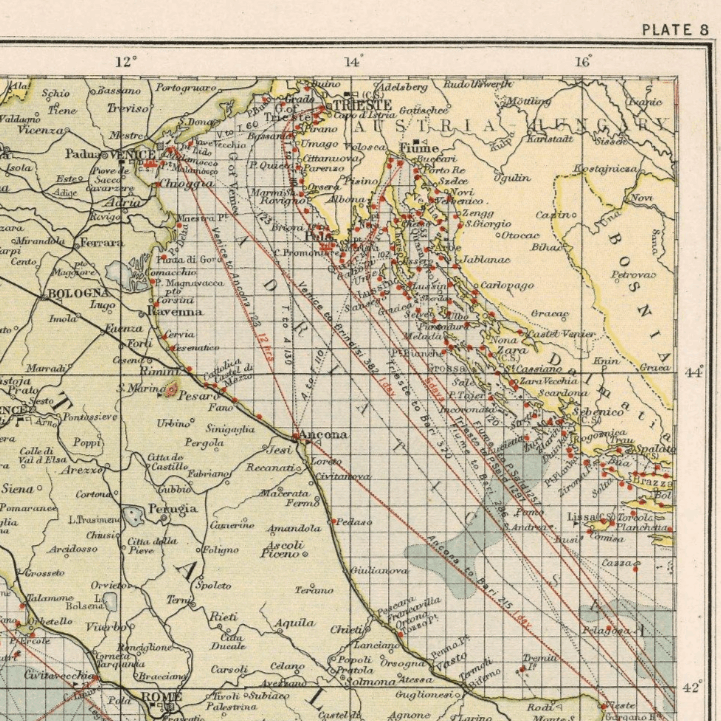
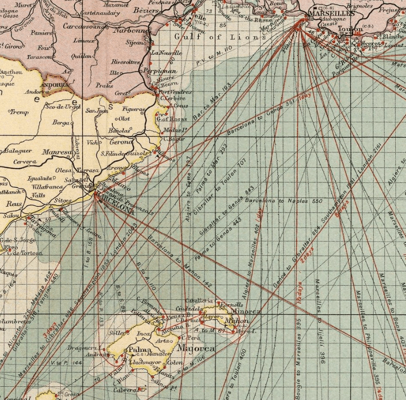
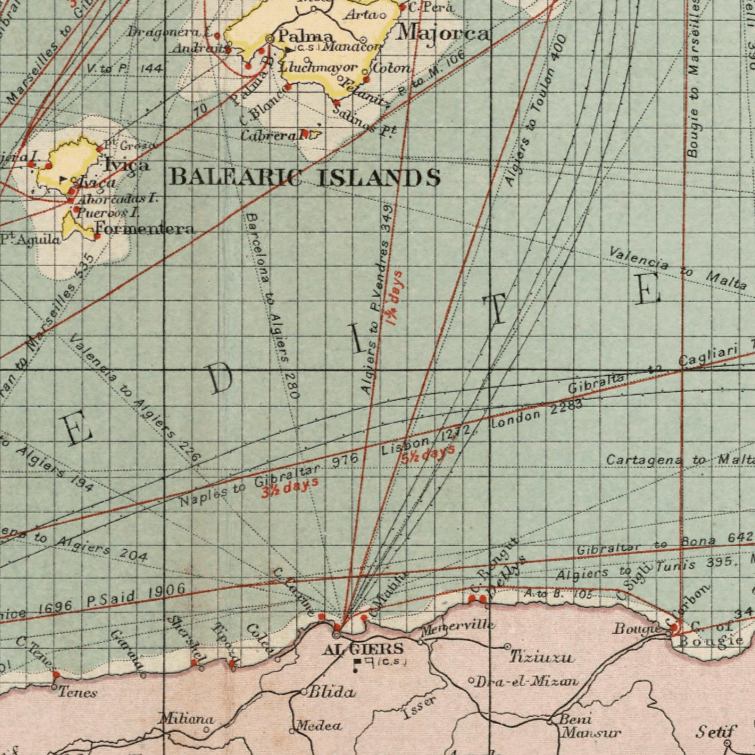
Mediterranean West 1905
Mediterranean West 1905
From: EGP460.00
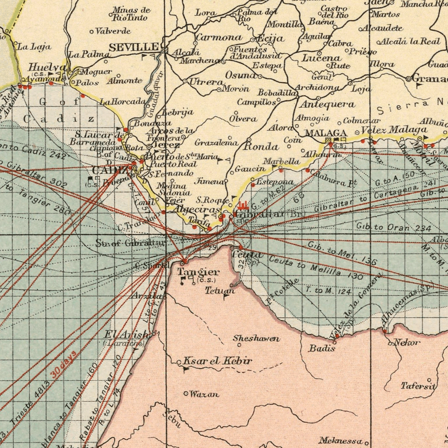
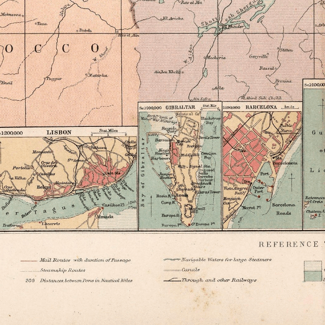
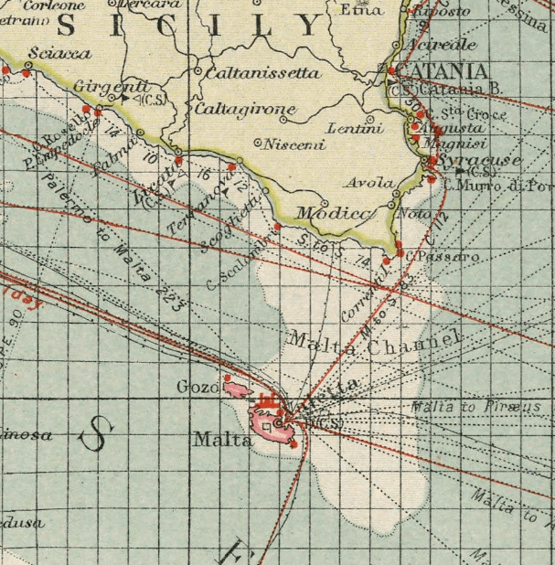
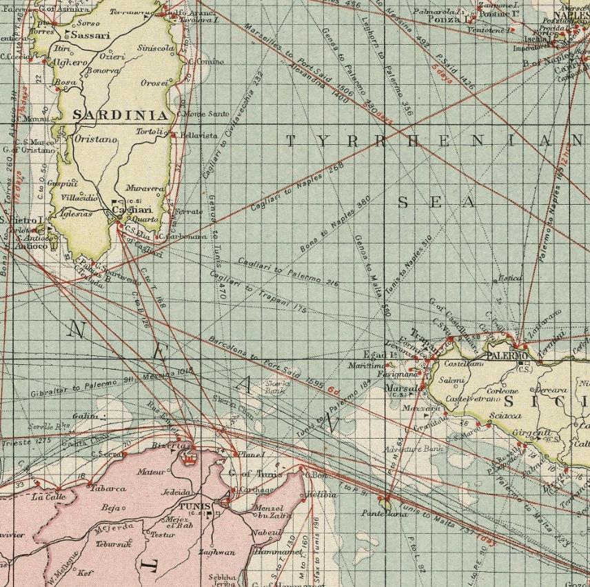
This Kharita™ was made by George Phillip of the London Geographical Institute. Showing, political boundaries, mail routes, steamship routes, distances, telegraph cables cities, towns, populations, naval stations, cables, light houses, harbors, navigable waters, canals, roads and railroads. with insets: Lisbon; Gibraltar; Barcelona; Marseilles; Genoa; Naples; Trieste.
Depth shown by gradient tints and soundings.
Map Info
Creator: George Phillip
Date: 1905
Language(s): English
Scale: 1:5,000,000
Location: West Mediterranean
| Size | A3, A2, A1, A0 |
|---|
SKU
N/A
Categories All Kharita's, North Africa Maps, Regional Maps
Tags 20th Century, Algeria, Europe, Libya, Morocco, Regional Map, Tunisia
People Also Purchased
-
Postage Stamps Stickers
EGP90.00 -
Frame
From: EGP250.00 -
Postcards Egypt 1826
EGP50.00 -
Magnifying Glass
EGP120.00
Related products
-
Aden 1949
From: EGP460.00 -
Alexandria 1933
From: EGP460.00 -
Bounds Map of Cairo 1946
From: EGP460.00 -
Classified Map of Secret Nazi Transport Routes 1941
From: EGP460.00 -
Commercial Map of the Near East 1921
From: EGP460.00 -
Damas 1939
From: EGP460.00 -
Damascus 1916
From: EGP460.00 -
Damietta 1941
From: EGP460.00 -
Eastern & Western Hemispheres 1905
From: EGP460.00 -
Himalayas 1951
From: EGP460.00 -
Japanese Map of China 1909
From: EGP460.00 -
Kuala Lumpur 1957
From: EGP460.00


