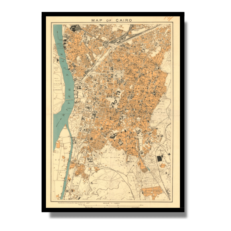
Map of Cairo 1914
Map of Cairo 1914
From: EGP460.00
Developed by the Survey Dept. Egypt. (also known as Maslahat Al-Misahah), this Kharita™ spectacularly encapsulates Cairo during the early 20th century.
Map Info
Creator: Maslahat Al-Misahah
Date: 1914
Language(s): English
Scale: 1: 15,000
Location: Cairo, Egypt
| Size | 27.5 x 40 cm, 40 x 55 cm, 55 x 80 cm |
|---|
SKU
N/A
Categories All Kharita's, North Africa Maps, Visually Aesthetic Maps Tags 20th Century, Egypt
People Also Purchased
-
Postage Stamps Stickers
EGP90.00 -
Frame
From: EGP250.00 -
Postcards Egypt 1826
EGP50.00 -
Magnifying Glass
EGP120.00
Related products
-
A New Map of Cairo 1966
From: EGP460.00 -
Alexandria 1933
From: EGP460.00 -
Antarctica 1912
From: EGP460.00 -
Bible Lands & The Cradle of Western Civilization 1946
From: EGP460.00 -
Bounds Map of Cairo 1946
From: EGP460.00 -
City of Manila & Vicinity 1955
From: EGP460.00 -
Geological Map of Anatolia 1920
From: EGP460.00 -
Guide Plan of Cairo 1949
From: EGP460.00 -
Iran Natural Vegetation 1960-1972
From: EGP460.00 -
Jerusalem 1942
From: EGP460.00 -
Kuwait 1958
From: EGP460.00 -
Lebanon 1926
From: EGP460.00


