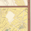
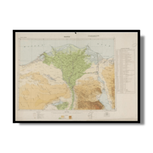
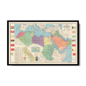
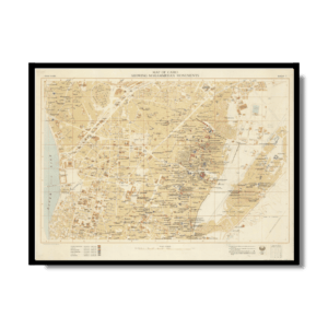
This Kharita™, published by the Cairo Drafting Office shows Cairo during the short-lived United Arab Republic, a political union between Egypt (including the occupied Gaza Strip) and Syria from 1958 until Syria seceded from the union after the 1961 Syrian coup d’état. This map includes 5 insets: El Maadi, Helwan, Giza Pyramids, Cairo & Environs and Heliopolis.
Map Info
Creator: Cairo Drafting Office
Date: 1966
Language(s): English
Scale: 1:14,286
Location: Cairo, Egypt
Details
✪ Heavyweight matte museum quality archival paper at 150 g/sqm
✪ Frame not included
✪ Pigment inks are water & fade-resistant, acid free
 Skip to content