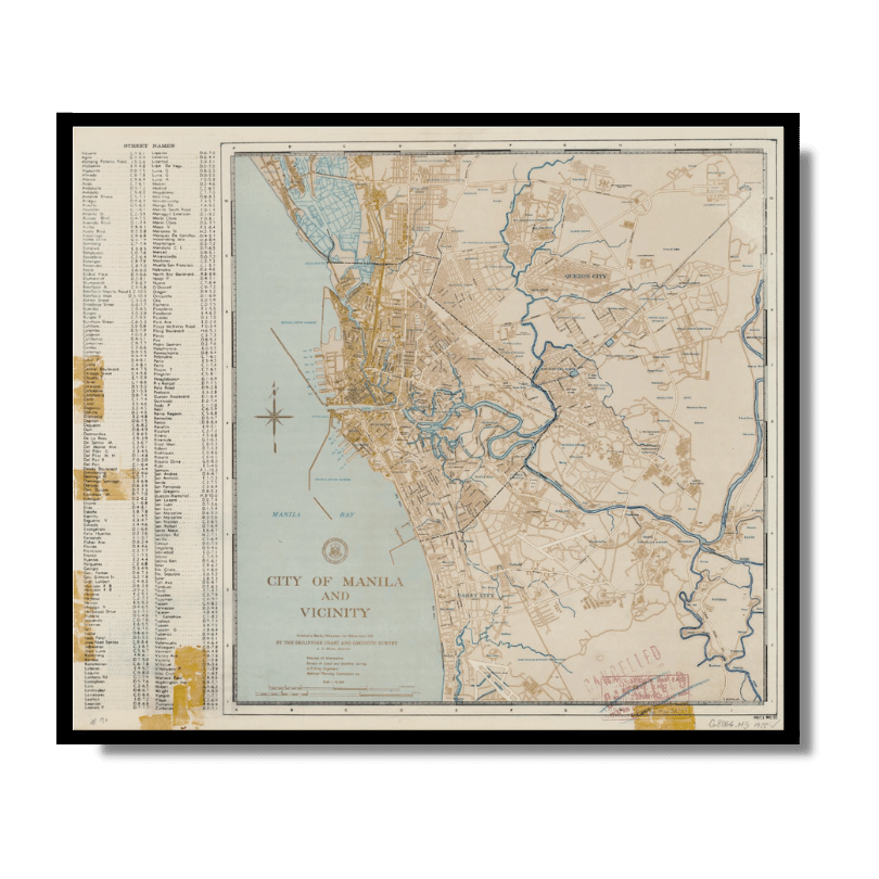
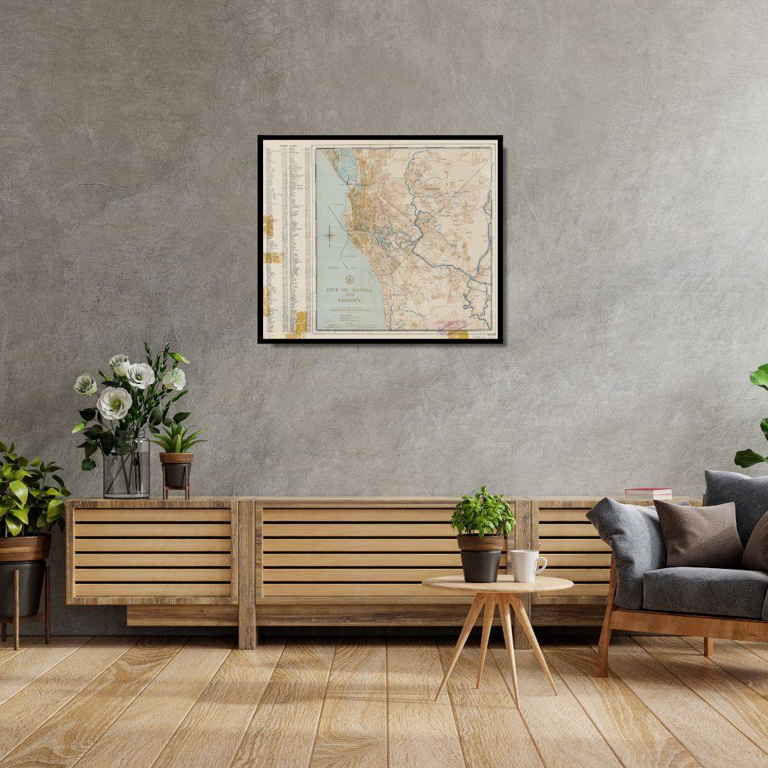
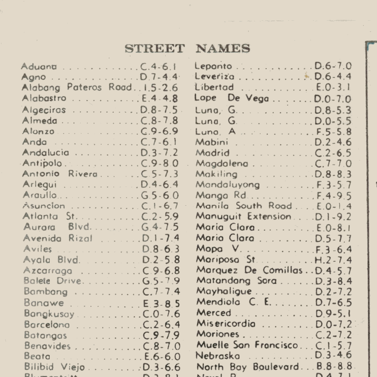
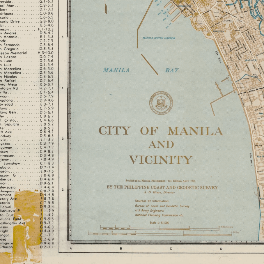
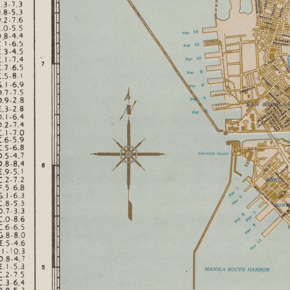
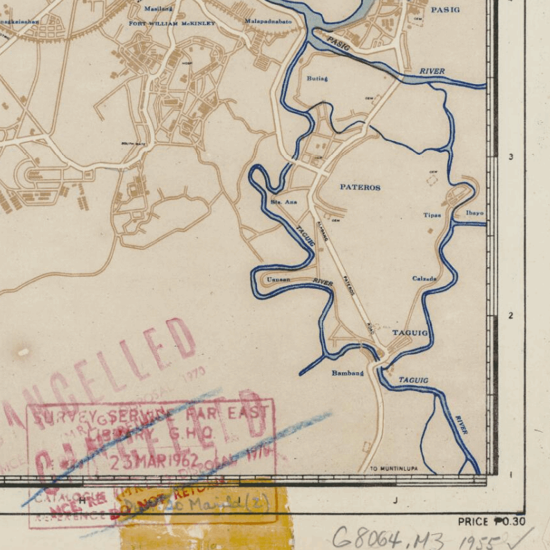
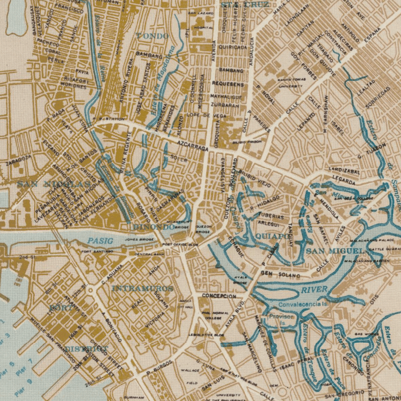
This Kharita™ of Manila and its surrounding areas, was created by the Filipino Bureau of Coast and Geodetic Survey. Showing public buildings, institutions, waterways, and boundaries. Places include: Malabon, Navotas, Pateros and Taguig.
Index to street names.
Map Info
Creator: Bureau of Coast and Geodetic Survey
Date: 1955
Language(s): English
Scale: 1:41,000
Location: Philipines
NOTICE: International Shipping Temporarily On Hold.
After you place an order, you will receive an email confirming that we have received your order and are processing it. Orders usually take 2–12 business days to arrive.
We do not offer refunds on our maps as they are printed per order. You may request an exchange within 30 days if the item is in good condition.
Visit our Shipping & Returns page for more details.