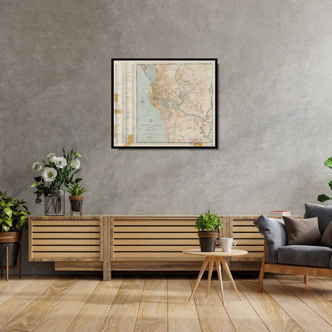
City of Manila & Vicinity 1955
City of Manila & Vicinity 1955
From: EGP460.00
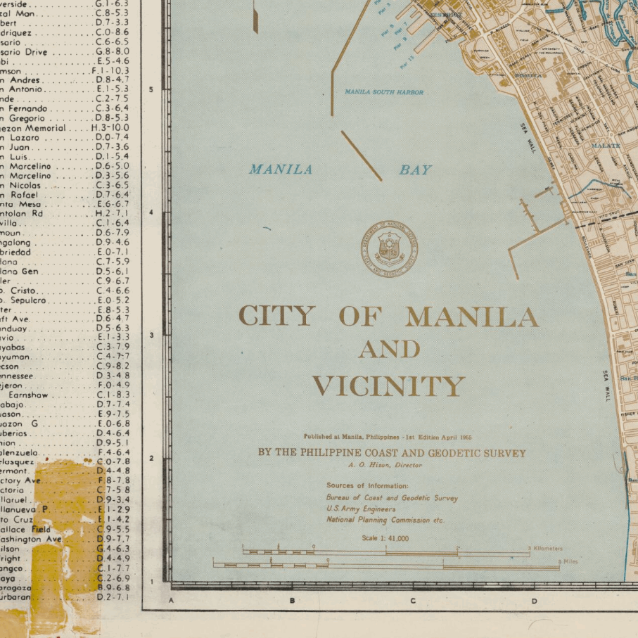
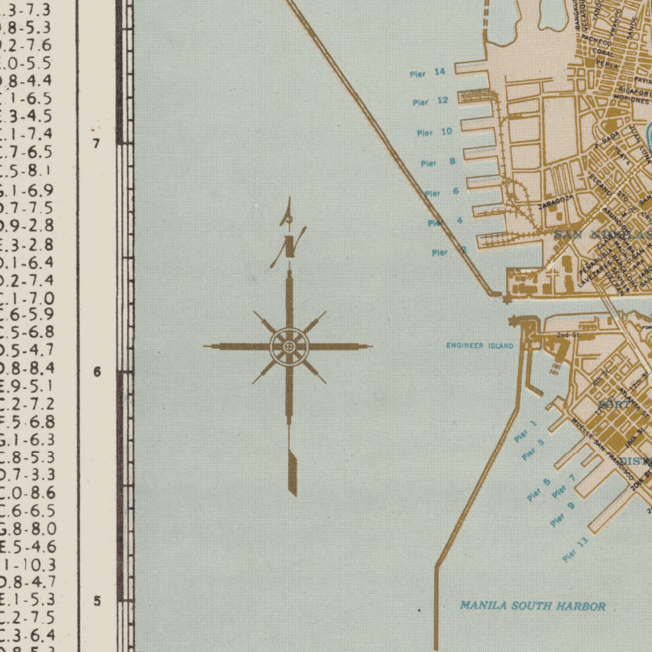
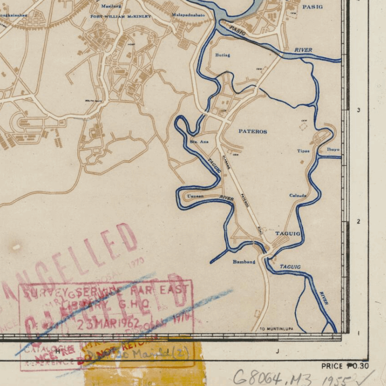
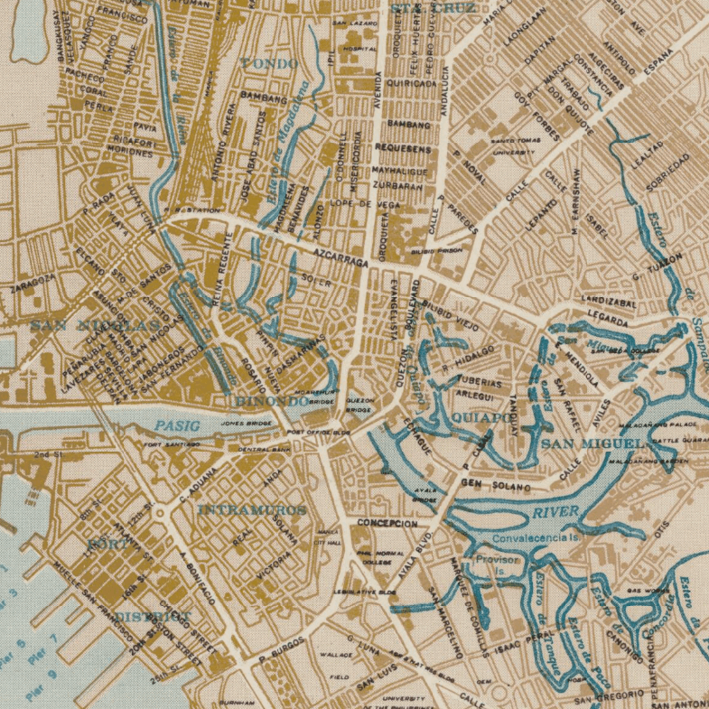
This Kharita™ of Manila and its surrounding areas, was created by the Filipino Bureau of Coast and Geodetic Survey. Showing public buildings, institutions, waterways, and boundaries. Places include: Malabon, Navotas, Pateros and Taguig.
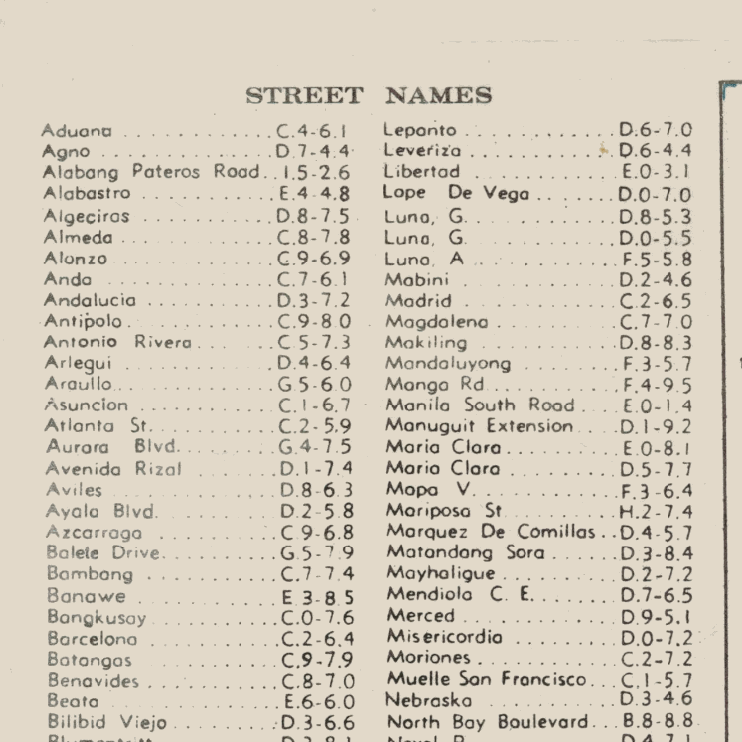
Index to street names.
Map Info
Creator: Bureau of Coast and Geodetic Survey
Date: 1955
Language(s): English
Scale: 1:41,000
Location: Philipines
| Size | A2, A1, A0, A3 |
|---|
Related products
-
Beyrouth 1961
From: EGP460.00 -
Map of Cairo Showing Mohammedan Monuments 1950
From: EGP460.00 -
Damascus 1916
From: EGP460.00 -
Classified Map of Secret Nazi Transport Routes 1941
From: EGP460.00 -
El Mina – Tripoli 1958
From: EGP460.00 -
Gaza 1917
From: EGP460.00 -
Guide Plan of Cairo 1949
From: EGP460.00 -
Aden 1949
From: EGP460.00 -
Geological Map of Anatolia 1920
From: EGP460.00 -
Kuwait 1958
From: EGP460.00 -
A New Map of Cairo 1966
From: EGP460.00 -
Kuala Lumpur 1957
From: EGP460.00


