Skip to content


-
Postage Stamps Stickers
EGP90.00 -
Frame
From: EGP250.00 -
Postcards Egypt 1826
EGP50.00 -
Magnifying Glass
EGP120.00


Related products
-
Catholic Missions in Northeastern Africa 1899
From: EGP460.00 -
Classified Map of Secret Nazi Transport Routes 1941
From: EGP460.00 -
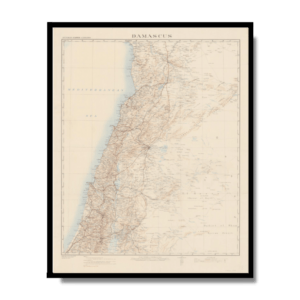
Damascus 1916
From: EGP460.00 -
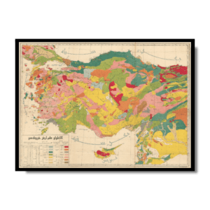
Geological Map of Anatolia 1920
From: EGP460.00 -
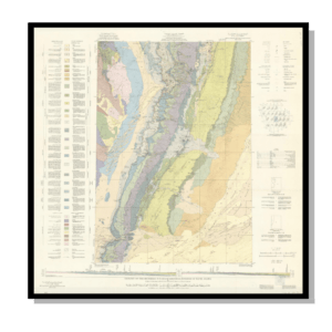
Geology of the Kingdom of Saudi Arabia 1958
From: EGP460.00 -
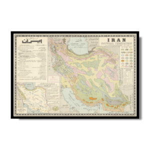
Iran Natural Vegetation 1960-1972
From: EGP460.00 -
Iran-Iraq: Basra 1942
From: EGP460.00 -
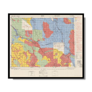
Khartoum 1952
From: EGP460.00 -
Kuala Lumpur 1957
From: EGP460.00 -
Lebanon 1926
From: EGP460.00 -
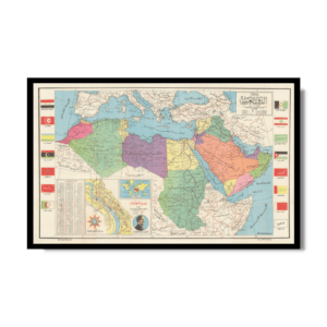
Map of Arab League States 1960
From: EGP460.00 -
Map of Cairo 1914
From: EGP460.00