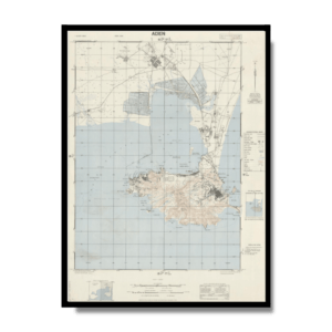
This decorative Kharita™ city plan of Khartoum, the capital of Sudan, with titles in Latin and Arabic script, was made by the Sudan Survey Department in 1952. Showing roads, street names, railways, parks, landmarks, public buildings, airports, and farms. Includes compass rose oriented with north to upper right.
This Kharita™ was created four years before Sudanese independence and in the year of the Egyptian Revolution, which supported the separation of Sudan. Since 1899 Sudan was ruled by England and Egypt as Anglo-Egyptian Sudan, and allowed the British to govern through indigenous leaders after the Unilateral Declaration of Egyptian Independence of 1922. Only after WWII the nationalism and tendencies towards an independent country grew and it was not until 1952, when the first major step was made from the side of Egypt. After seizing power in Egypt and overthrowing the Faruk monarchy in 1952, Colonel Muhammad Naguib, whose mother was Sudanese, and later Gamal Abdel Nasser, broke the deadlock on the problem of Egyptian sovereignty over Sudan. The Sudanese independence was declared on January 1st, 1956, with an elected first Prime Minister Ismail al-Azhari and the first modern Sudanese government.”
Map Info
Creator: Sudan. Maṣlaḥat al-Misāḥah (Survey Depatment)
Date: 1958
Language(s): English & Arabic
Scale: 1:7,500
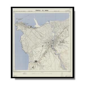
Location: Khartoum, Sudan
✪ Heavyweight matte paper at 150 g/sqm
✪ Frame not included
✪ Package comes with shipping tube
NOTICE: International Shipping Temporarily On Hold.
After you place an order, you will receive an email confirming that we have received your order and are processing it. Orders usually take 2–12 business days to arrive.
We do not offer refunds on our maps as they are printed per order. You may request an exchange within 30 days if the item is in good condition.
Visit our Shipping & Returns page for more details.


")