Map of Northern Sinai 1914
Map of Northern Sinai 1914
From: EGP460.00
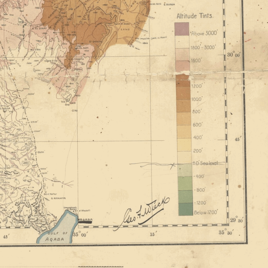
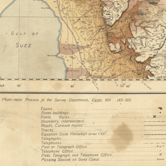
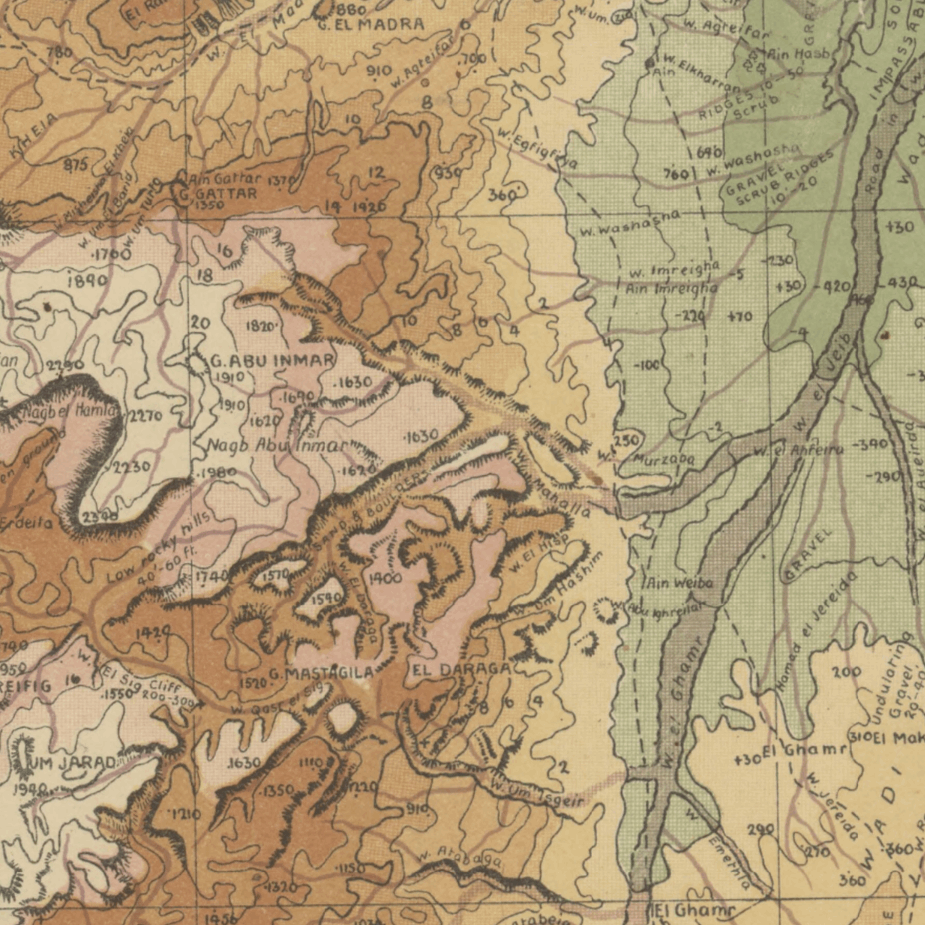
This is a Topographic Kharita™ of the northern Sinai Peninsula in Egypt shows roads, tracks, canals, wells, swamps, cities and localities, boundaries, telephone lines, water features, vegetation, cultivation and built-up areas. It was developed by Maslahat Al-Misahah in 1914
Relief shown by contours, hypsometric tints, hachures and spot heights.
Map Info
Creator: Maslahat Al-Misahah
Date: 1914
Language(s): English
Scale: 1: 500,000
Location: Sinai, Egypt
| Size | A3, A2, A1, A0 |
|---|
Related products
-
Partition of Palestine 1949
From: EGP460.00 -
Algérie et Tunisie 1890-1892
From: EGP460.00 -
الجزائر | Algeria 1830
From: EGP460.00 -
Orographic map of the Dardanelles 1915
From: EGP460.00 -
Soviet Map of Casablanca 1972
From: EGP460.00 -
Soviet Map of Tripoli 1985 [Set of 2]
From: EGP660.00 -
The Daily Telegraph: War Map of Egypt and the Near East 1918
From: EGP460.00 -
Antarctica 1912
From: EGP460.00 -
Port Said 1941
From: EGP460.00 -
Beyrouth 1961
From: EGP460.00 -
Palästina 1926
From: EGP460.00



![Soviet Map of Tripoli 1985 [Set of 2]](https://mykharita.com/wp-content/uploads/2024/03/45-1-300x300.png)
