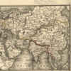
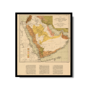
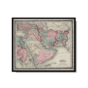
This Kharita™ was published in 1885 by the American company G.W. & C.B. Colton. Maps of Indiana and Ohio are shown as a way to compare the size of the two states with areas in Central Asia. During the mid-1880s, a joint Anglo-Russian Boundary Commission was formed after the two empires agreed to work together to mark the northern boundary of Afghanistan as well as outlining a permanent border along the Amu Darya River.
Map Info
Creator: G.W. & C. Colton & Co.
Date: 1885
Language(s): English
Scale: Unknown
Location: Central Asia
✪ Heavyweight matte paper at 150 g/sqm
✪ Frame not included
✪ Package comes with shipping tube
NOTICE: International Shipping Temporarily On Hold.
After you place an order, you will receive an email confirming that we have received your order and are processing it. Orders usually take 2–12 business days to arrive.
We do not offer refunds on our maps as they are printed per order. You may request an exchange within 30 days if the item is in good condition.
Visit our Shipping & Returns page for more details.
 Skip to content