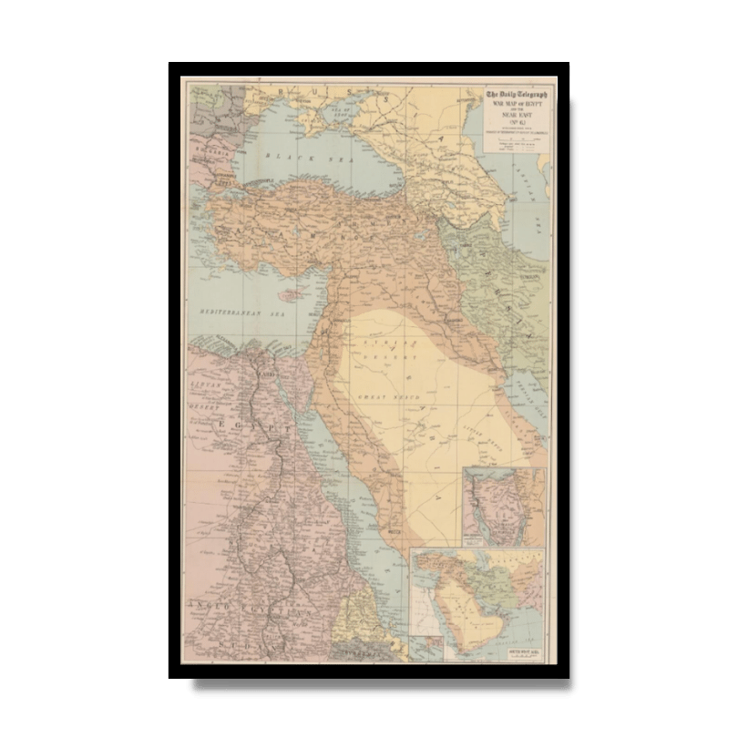
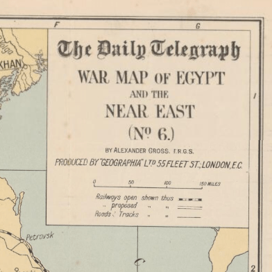
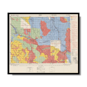
The Daily Telegraph: War Map of Egypt and the Near East 1918
The Daily Telegraph: War Map of Egypt and the Near East 1918
From: EGP460.00
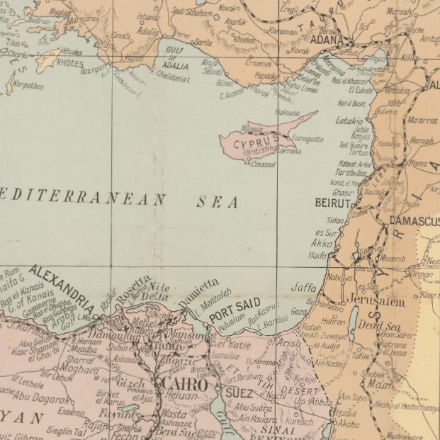
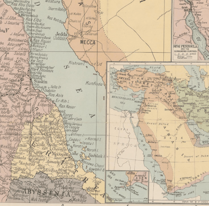
This Kharita™ of the Middle East was published in London 1918. It shows Anatolia, Egypt, and the Arabian Desert. The map was issued at the end of World War I, before the division of Ottoman territories by the League of Nations. Armenia is shown to cover a large portion of Asia Minor. The Strait of Hormuz at the entrance to the Persian Gulf is marked as “Pirate Coast.” The present-day states of the Persian Gulf states are labeled “East India Co (Brit).” Railroad routes, both actual and proposed, roads, and tracks are marked. Inset maps depict the Sinai Peninsula and surrounding countries and the wider Southwest Asia region.
Map Info
Creator: Gross, Alexander
Date: 1916
Language(s): English
Scale: approximately 1:4,500,000
Location: Middle East
| Size | A3, A2, A1, A0 |
|---|
Related products
-
Map of Cairo 1914
From: EGP460.00 -
Map of Northern Sinai 1914
From: EGP460.00 -
Soviet Map of Casablanca 1972
From: EGP460.00 -
Des Spheres 1786
From: EGP460.00 -
Middle East and Arabia 1766
From: EGP460.00 -
Soviet Map of Basra 1979
From: EGP460.00 -
Antarctica 1912
From: EGP460.00 -
Northern Morocco 1950
From: EGP460.00 -
Soviet Map of Marrakech 1973
From: EGP460.00 -
Port Said 1941
From: EGP460.00 -
Palästina 1926
From: EGP460.00 -
Iran-Iraq: Basra 1942
From: EGP460.00

