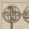
This is a decorative chart by French cartographer Louis Brion de la Tour dating to 1786. It depicts two armillary spheres based on the Ptolemaic model. The first sphere is shown on its side with axis points at the horizon while the second sphere depicts the usual upright orientation.
To the left and right of the map are paste downs of French text with remarks and descriptions of the map. All of which is surrounded by an elaborate, decorative border featuring floral arrangements, surveying tools elaborate baroque scalloping, and a winged globe. This map was issued in the most deluxe edition of Desnos’ 1786: Atlas General Methodique et Elementaire, pour l´ edude de la Geographie et de l´Histoire Moderne
Map Info
Creator: Louis Brion de la Tour
Date: 1786
Language(s): French
Scale: –
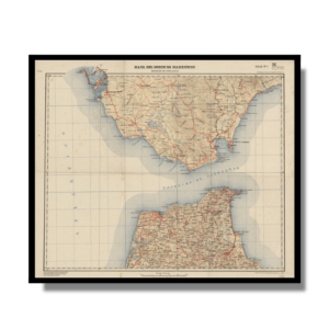
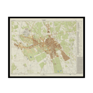
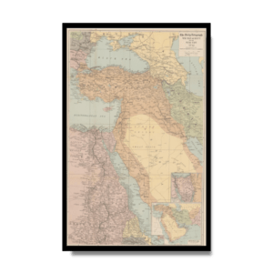
Location: World
✪ Heavyweight matte paper at 150 g/sqm
✪ Frame not included
✪ Package comes with shipping tube
NOTICE: International Shipping Temporarily On Hold.
After you place an order, you will receive an email confirming that we have received your order and are processing it. Orders usually take 2–12 business days to arrive.
We do not offer refunds on our maps as they are printed per order. You may request an exchange within 30 days if the item is in good condition.
Visit our Shipping & Returns page for more details.
 Skip to content