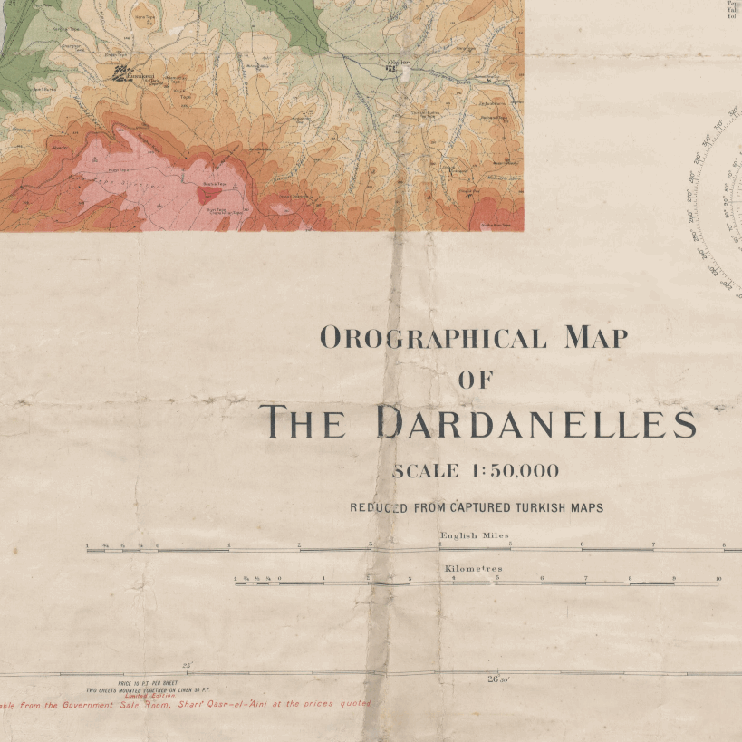
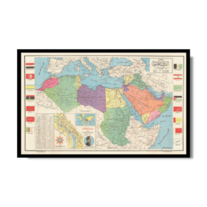
Orographic map of the Dardanelles 1915
Orographic map of the Dardanelles 1915
From: EGP460.00
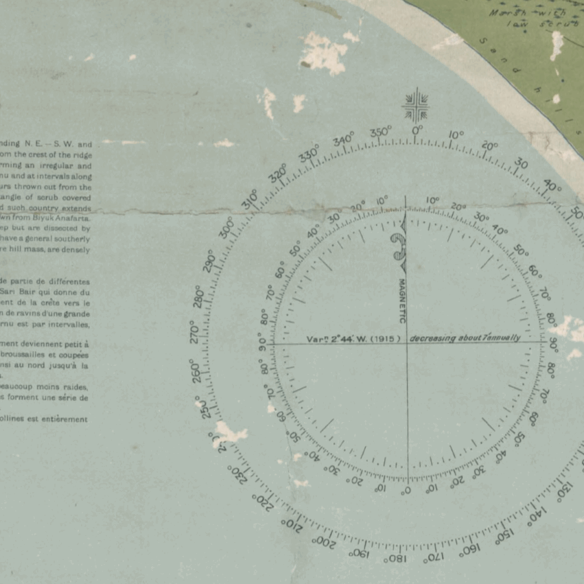
First World War Orographic map, of the Dardanelles, Turkey. Developed by Maslahat Al-Misahah in 1915. Relief shown by color shading and contour lines. Has some descriptions of land quality and use and gives magnetic variation. Includes reference of Turkish words with English equivalencies. Reduced from captured Turkish maps and annotated with location names used by the Allied forces.
Map Info
Creator: Maslahat Al-Misahah (Egypt)
Date: 1915
Language(s): English
Scale: 1: 50000
Location: Dardanelles, Turkey
| Size | A3, A2, A1, A0 |
|---|
People Also Purchased
-
Postage Stamps Stickers
EGP90.00 -
Postcards Egypt 1826
EGP50.00 -
Frame
From: EGP250.00 -
Magnifying Glass
EGP120.00
Related products
-
A New Map of Cairo 1966
From: EGP460.00 -
El Mina – Tripoli 1958
From: EGP460.00 -
Gaza 1917
From: EGP460.00 -
Geological Map of Anatolia 1920
From: EGP460.00 -
Geology of the Kingdom of Saudi Arabia 1958
From: EGP460.00 -
Guide Plan of Cairo 1949
From: EGP460.00 -
Himalayas 1951
From: EGP460.00 -
Japanese Map of China 1909
From: EGP460.00 -
Kuala Lumpur 1957
From: EGP460.00 -
Lebanon 1926
From: EGP460.00 -
Map of Arab League States 1960
From: EGP460.00 -
Map of Cairo 1914
From: EGP460.00


