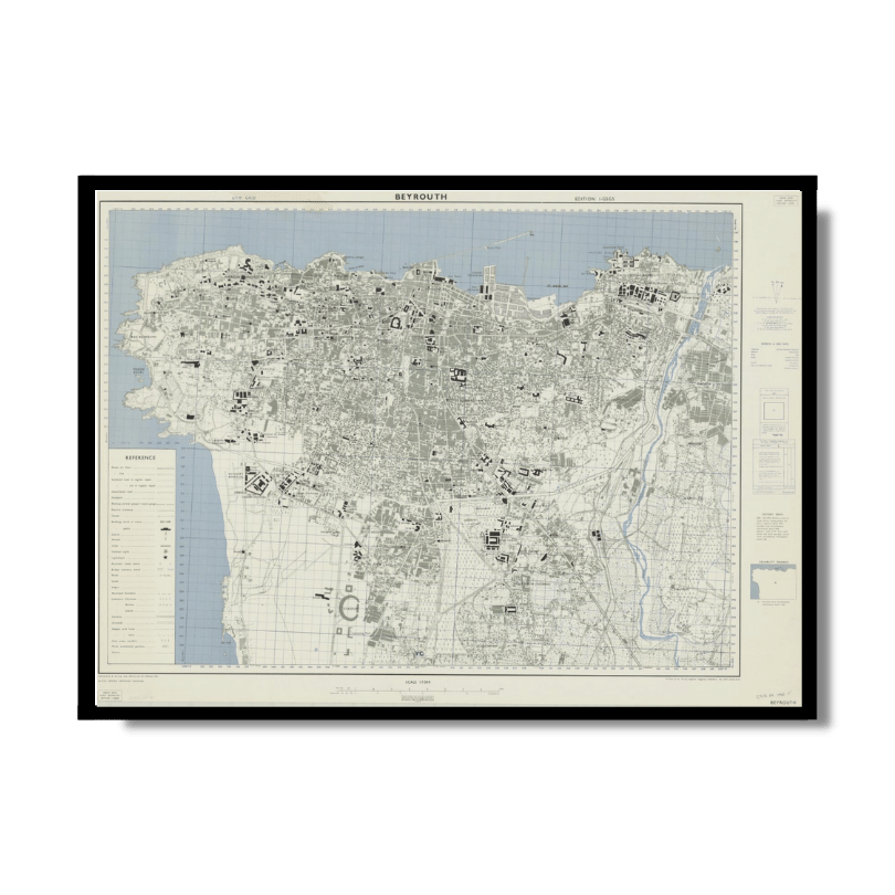
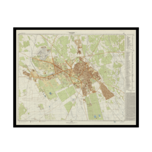
Beyrouth 1961
Beyrouth 1961
From: EGP460.00
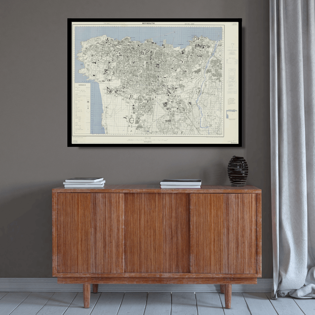
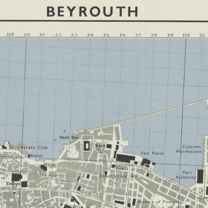
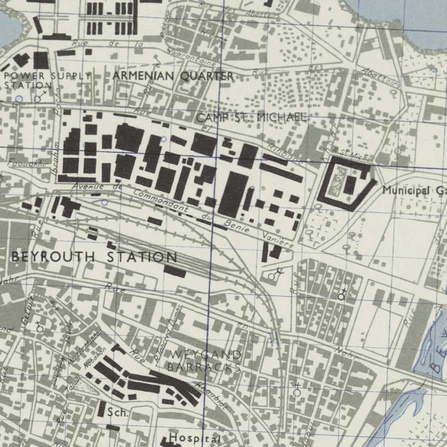
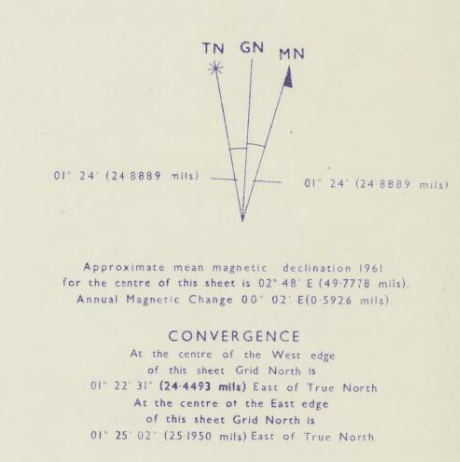
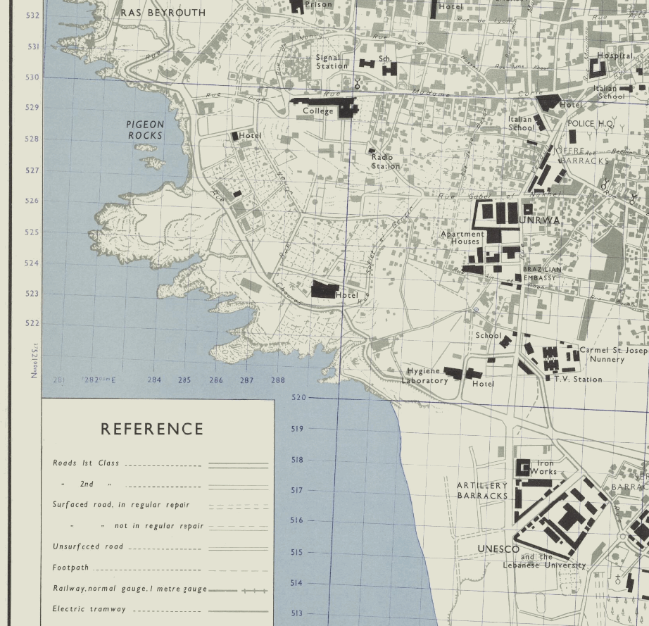
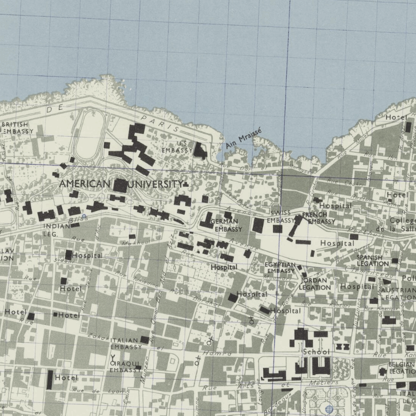
This Kharita™ is a Town plan of Beirut, Lebanon showing municipal boundaries, transportation, public, religious buildings, built-up areas, water features and vegetation. It was created by the Great British War Office in 1961. It also includes a reliability diagram and a history note.
Map Info
Creator: Great British War Office
Date: 1961
Language(s): English
Scale: 1:7500
Location: Beirut, Lebanon
| Size | A3, A2, A1, A0 |
|---|
SKU
N/A
Categories All Kharita's, Levant Maps, Maps by British War Office, Visually Aesthetic Maps
Tags 20th Century, Lebanon
People Also Purchased
-
Postage Stamps Stickers
EGP90.00 -
Frame
From: EGP250.00 -
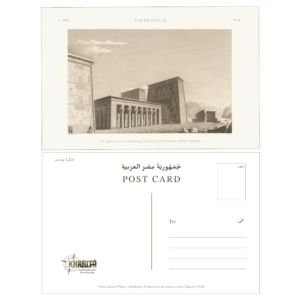
Postcards Egypt 1826
EGP50.00 -
Magnifying Glass
EGP120.00
Related products
-
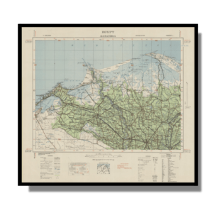
Alexandria 1933
From: EGP460.00 -
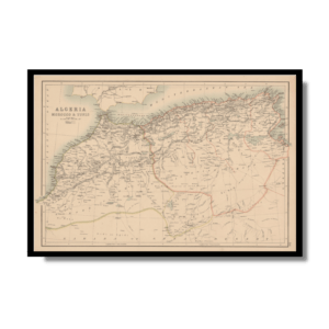
Algérie et Tunisie 1890-1892
From: EGP460.00 -
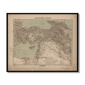
Asian Turkey 1895
From: EGP460.00 -
Iran-Iraq: Basra 1942
From: EGP460.00 -
Kairo Ägypten 1941
From: EGP460.00 -
Map of Cairo 1914
From: EGP460.00 -
Northern Morocco 1950
From: EGP460.00 -
Orographic map of the Dardanelles 1915
From: EGP460.00 -
Palästina 1926
From: EGP460.00 -
Partition of Palestine 1949
From: EGP460.00 -
Soviet Map of Basra 1979
From: EGP460.00 -
Soviet Map of Marrakech 1973
From: EGP460.00


