Jerusalem 1942
Jerusalem 1942
From: EGP460.00
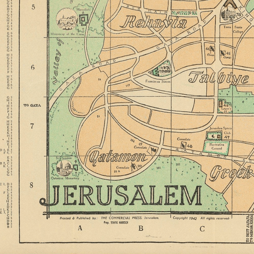
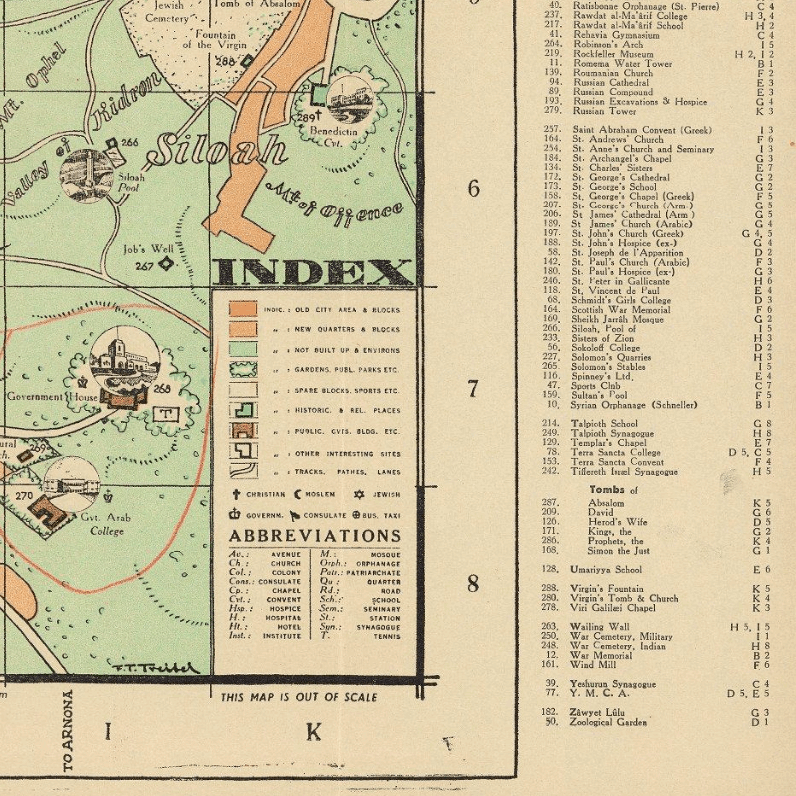
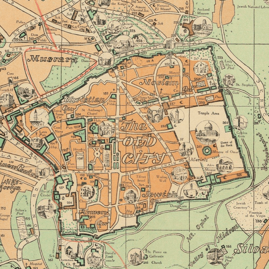
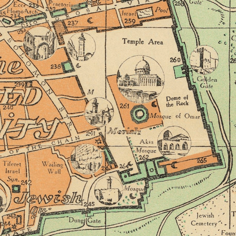
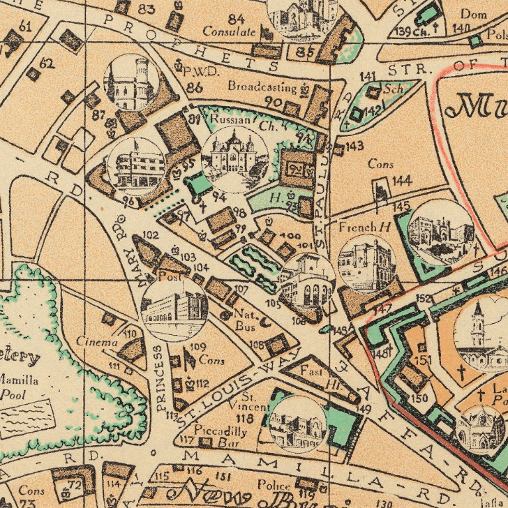
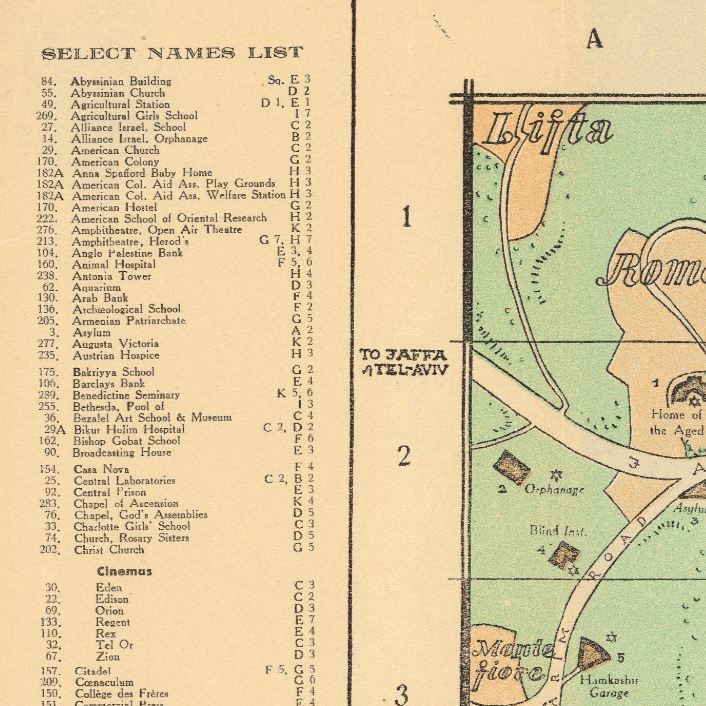
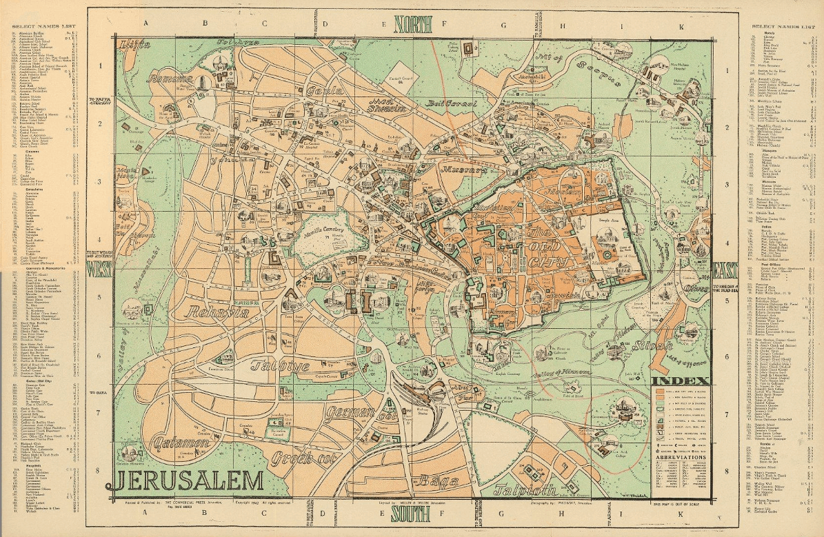
This colour-coded pictorial Kharita™ of Jerusalem was published in 1942 by the Arab Tourist Agency, showing roads, tracks, paths, old city, new quarter, garden, parks, public buildings, historic sites, places of interest, etc. Includes Index, abbreviations, and list of public and historic place names
Relief shown by hachures and spot heights.
Map Info
Creator: Arab Tourist Agency
Date: 1942
Language(s): English
Scale: Out of scale
Location: Jerusalem, Palestine
| Size | A3, A2, A1, A0 |
|---|
SKU
N/A
Categories All Kharita's, Historically Significant, Levant Maps, Palestine Maps, Visually Aesthetic Maps
Tags 20th Century, Palestine
People Also Purchased
-
Postage Stamps Stickers
EGP90.00 -
Frame
From: EGP250.00 -
Postcards Egypt 1826
EGP50.00 -
Magnifying Glass
EGP120.00
Related products
-
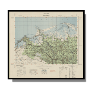
Alexandria 1933
From: EGP460.00 -
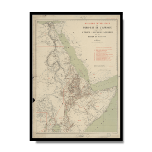
Catholic Missions in Northeastern Africa 1899
From: EGP460.00 -
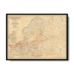
Classified Map of Secret Nazi Transport Routes 1941
From: EGP460.00 -
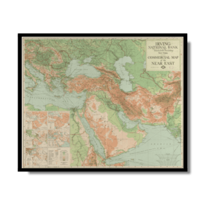
Commercial Map of the Near East 1921
From: EGP460.00 -
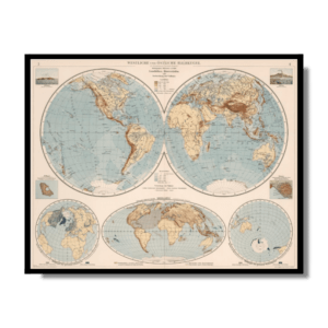
Eastern & Western Hemispheres 1905
From: EGP460.00 -
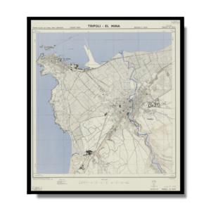
El Mina – Tripoli 1958
From: EGP460.00 -
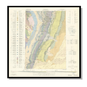
Geology of the Kingdom of Saudi Arabia 1958
From: EGP460.00 -
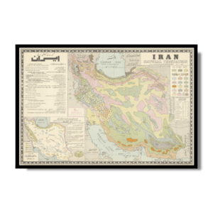
Iran Natural Vegetation 1960-1972
From: EGP460.00 -
Iran-Iraq: Basra 1942
From: EGP460.00 -
Japanese Map of China 1909
From: EGP460.00 -
Kairo Ägypten 1941
From: EGP460.00 -
Kuala Lumpur 1957
From: EGP460.00


