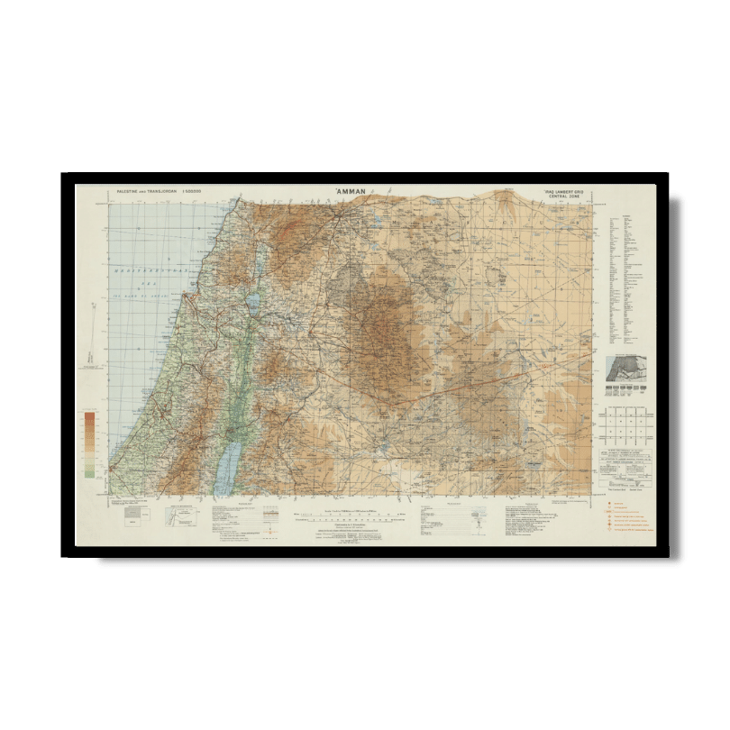
Palestine and Transjordan: Amman 1933
Palestine and Transjordan: Amman 1933
From: EGP460.00
This Kharita™, by the Great British War Office, is part of a topographic map series of Palestine and Transjordan showing international and district boundaries, roads, railways, buildings, telegraph offices, rivers, terrain, ruins and populated areas. Palestinian and Jordan cities can be seen including: Amman, Jerusalem, Haifa, Ramallah, Gaza and more.
Relief shown by contours and spot heights. Altitude shown by colour tints.
Map Info
Creator: Great British War Office
Date: 1933
Language(s): English
Scale: 1:500,000
Location: Palestine
| Size | A3, A2, A1, A0 |
|---|
SKU
N/A
Categories All Kharita's, Levant Maps, Maps by British War Office, Palestine Maps Tags 20th Century, Jordan, Palestine
People Also Purchased
-
Postage Stamps Stickers
EGP90.00 -
Frame
From: EGP250.00 -
Postcards Egypt 1826
EGP50.00 -
Magnifying Glass
EGP120.00
Related products
-
Antarctica 1912
From: EGP460.00 -
Beyrouth 1961
From: EGP460.00 -
Bible Lands & The Cradle of Western Civilization 1946
From: EGP460.00 -
Catholic Missions in Northeastern Africa 1899
From: EGP460.00 -
Classified Map of Secret Nazi Transport Routes 1941
From: EGP460.00 -
Damascus 1916
From: EGP460.00 -
Eastern & Western Hemispheres 1905
From: EGP460.00 -
Gaza 1917
From: EGP460.00 -
Geology of the Kingdom of Saudi Arabia 1958
From: EGP460.00 -
Himalayas 1951
From: EGP460.00 -
Kuwait 1958
From: EGP460.00 -
Map of Cairo 1914
From: EGP460.00


