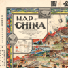
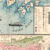
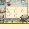
This vibrant pictorial Kharita™ is a pictrial map of China cartographed by Primakoff, G and hand engraved by Sergeeff, P.. The map was published in 1931 by the Northern Trading Company, and is a living testament to the beautiful craft of cartography. Besides “Map of China”, the map is also titled in Chinese with”象形中華民國人物輿地全圖’ which roughly translates to the same thing.
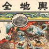
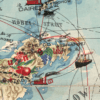
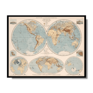
2 inset map show January and July isotherms.
Map Info
Creator: Sergeeff, P., Primakoff, G.
Date: 1931
Language(s): English/Chinese
Scale: –
Location: World
✪ Heavyweight matte paper at 150 g/sqm
✪ Frame not included
✪ Package comes with shipping tube
NOTICE: International Shipping Temporarily On Hold.
After you place an order, you will receive an email confirming that we have received your order and are processing it. Orders usually take 2–12 business days to arrive.
We do not offer refunds on our maps as they are printed per order. You may request an exchange within 30 days if the item is in good condition.
Visit our Shipping & Returns page for more details.
 Skip to content