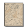
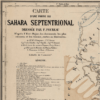
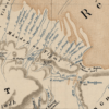
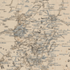
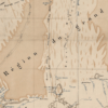
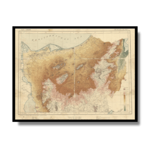
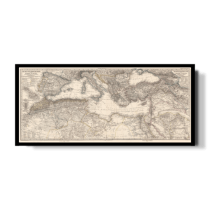
This Kharita™ shows explorer Fernard Foureau’s first mission crossing southern Algeria into the northern part of the Sahara in search for building a trans-Sahara railway. The map highlights oasis’s, populated places, water sources, and the expedition routes.
Relief shown by shading and spot heights.
Map Info
Creator: Fernard Foureau. Ministry of Foreign Affairs, France
Date: 1888
Language(s): French
Scale: –
Location: Algerian Sahara
✪ Heavyweight matte paper at 150 g/sqm
✪ Frame not included
✪ Package comes with shipping tube
NOTICE: International Shipping Temporarily On Hold.
After you place an order, you will receive an email confirming that we have received your order and are processing it. Orders usually take 2–12 business days to arrive.
We do not offer refunds on our maps as they are printed per order. You may request an exchange within 30 days if the item is in good condition.
Visit our Shipping & Returns page for more details.
 Skip to content