Skip to content




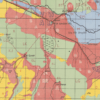
Iran-Iraq: Basra 1942
From: EGP550.00
A3 & A2 — Smaller & Versatile
A3: 29.7 × 42 cm · A2: 42 × 59.4 cm
Great for smaller spaces and simpler maps. Maps with lots of names, roads, borders, or fine details may be harder to read at these sizes.
A1 & A0 — Large & Detailed
A1: 59.4 × 84.1 cm · A0: 84.1 × 118.9 cm
Best for detailed maps. Larger sizes make the content easier to read and create a stronger statement piece on your wall.
Keep in mind
A3, A2, A1 and A0 are standard paper sizes. Historical maps come in different proportions, so the map itself may not fill the entire sheet and its final dimensions can vary.
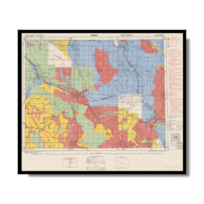
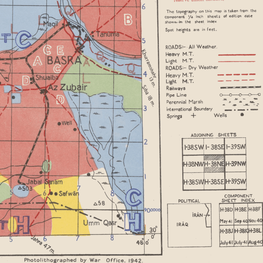
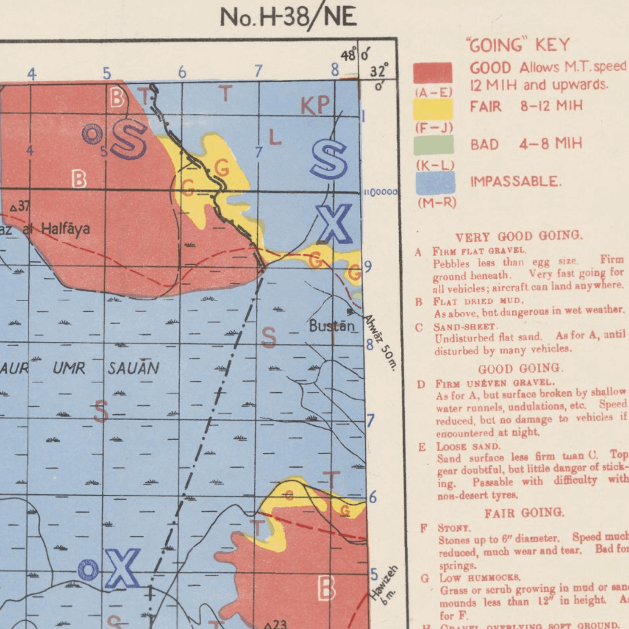
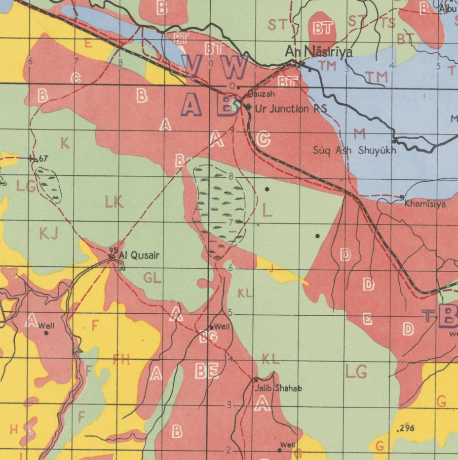
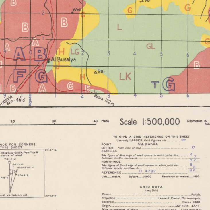
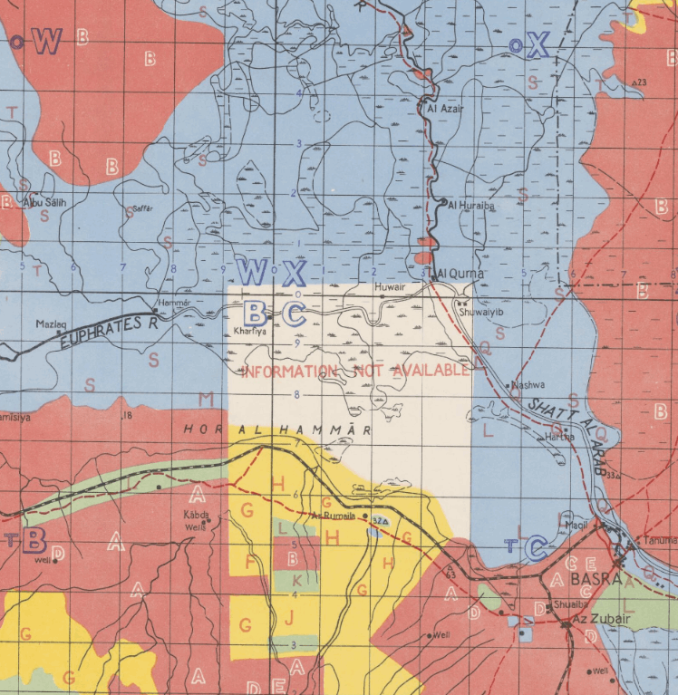
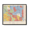
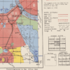
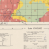
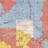
This Kharita™ of Basra was created by the Great British War Office in 1942. It is part of a larger series of maps of Iran and Iraq that shows international boundaries, transportation, pipelines, water features and populated places. This map also contains a “Going Key” on the left which reveals the type of terrain in the region and how suitable it is for vehicles like trucks and tanks to cross and aircrafts to land
Relief shown by spot heights.
Map Info
Creator: Great British War Office
Date: 1942
Language(s): English
Scale: 1:500 000
Location: Basra, Iraq
| Size | A3, A2, A1, A0 |
|---|
NOTICE: International Shipping Temporarily On Hold.
After you place an order, you will receive an email confirming that we have received your order and are processing it. Orders usually take 2–12 business days to arrive.
We do not offer refunds on our maps as they are printed per order. You may request an exchange within 30 days if the item is in good condition.
Visit our Shipping & Returns page for more details.
People Also Purchased
-
Postage Stamps Stickers
EGP90.00 -
Frame
EGP250.00 -
Postcards Egypt 1826
EGP50.00 -
Magnifying Glass
EGP120.00