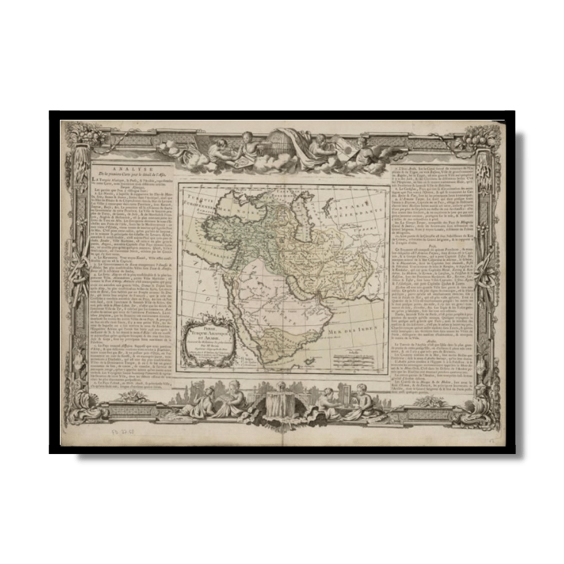
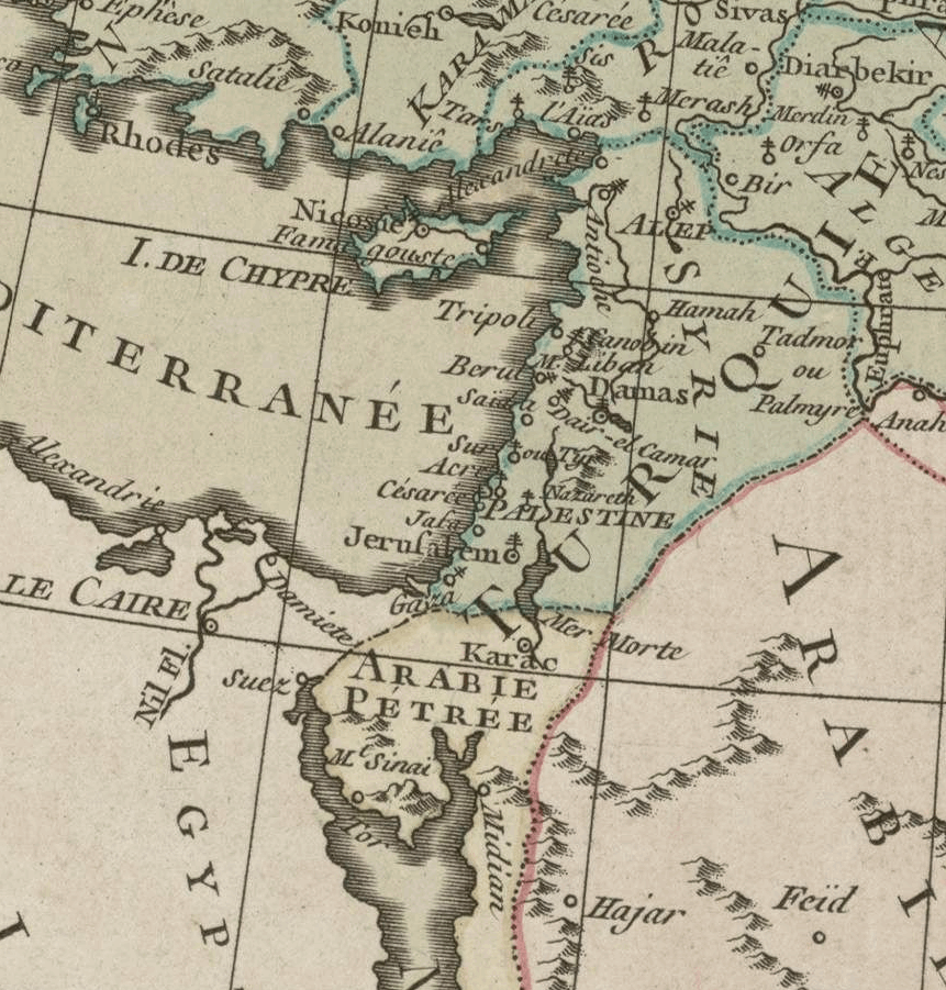
Middle East and Arabia 1766
From: EGP460.00
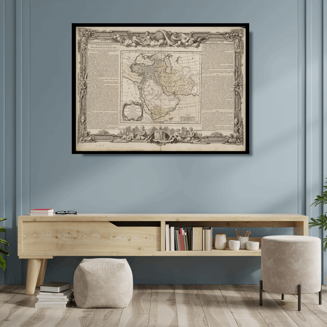
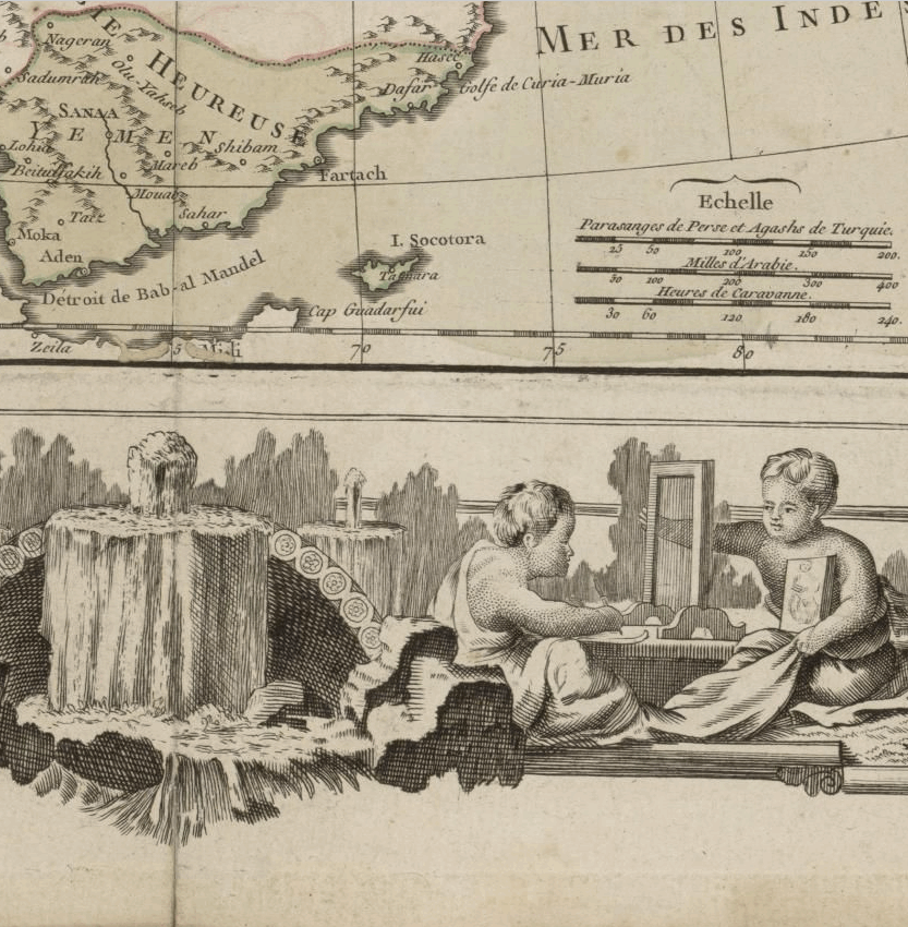
This appealing Kharita™ of the Middle East and Arabia by Brion de la Tour, covers the Arabian peninsula as well as Turkey, Cyprus, Armenia, Iran, Egypt, (Political divisions are color coded) The map notes some important early places including Babylon, Media, Assyria, Mesopotamia, etc. as well as important rivers and mountains.
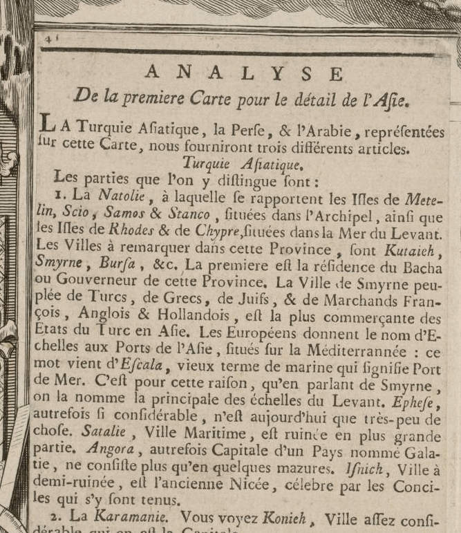
This map also features a detailed explanation of the geographic and political theatre in the region which is surrounded by Brion de la Tour’s elaborate rococo border work and title cartouche. This map was prepared by Brion de la Tour and published in Louis Charles Desnos’ Geographie Moderne, Historique et Politique.
Map Info
Creator: Brion de la Tour
Date: 1766
Language(s): French
Scale: –
Location: Arabian Peninsula
| Size | 36 x 24.5, 49 x 36, 72 x 49 |
|---|
People Also Purchased
-
Postage Stamps Stickers
EGP90.00 -
Frame
From: EGP250.00 -
Postcards Egypt 1826
EGP50.00 -
Magnifying Glass
EGP120.00
Related products
-
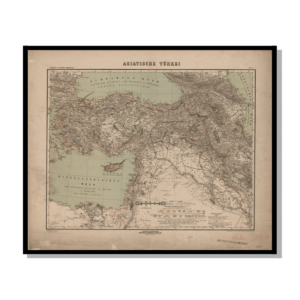
Asian Turkey 1895
From: EGP460.00 -
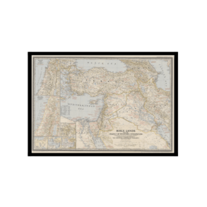
Bible Lands & The Cradle of Western Civilization 1946
From: EGP460.00 -
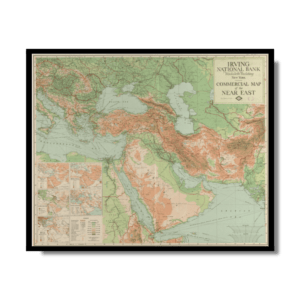
Commercial Map of the Near East 1921
From: EGP460.00 -
Guide Plan of Cairo 1949
From: EGP460.00 -
Iran-Iraq: Basra 1942
From: EGP460.00 -
Map of Arab League States 1960
From: EGP460.00 -
Port Said 1941
From: EGP460.00 -
Sinai & the Desert of the Wanderings 1874
From: EGP460.00 -
Soviet Map of Basra 1979
From: EGP460.00 -
The Daily Telegraph: War Map of Egypt and the Near East 1918
From: EGP460.00 -
The Mediterranean 1875
From: EGP570.00


