Palästina 1926
Palästina 1926
From: EGP460.00
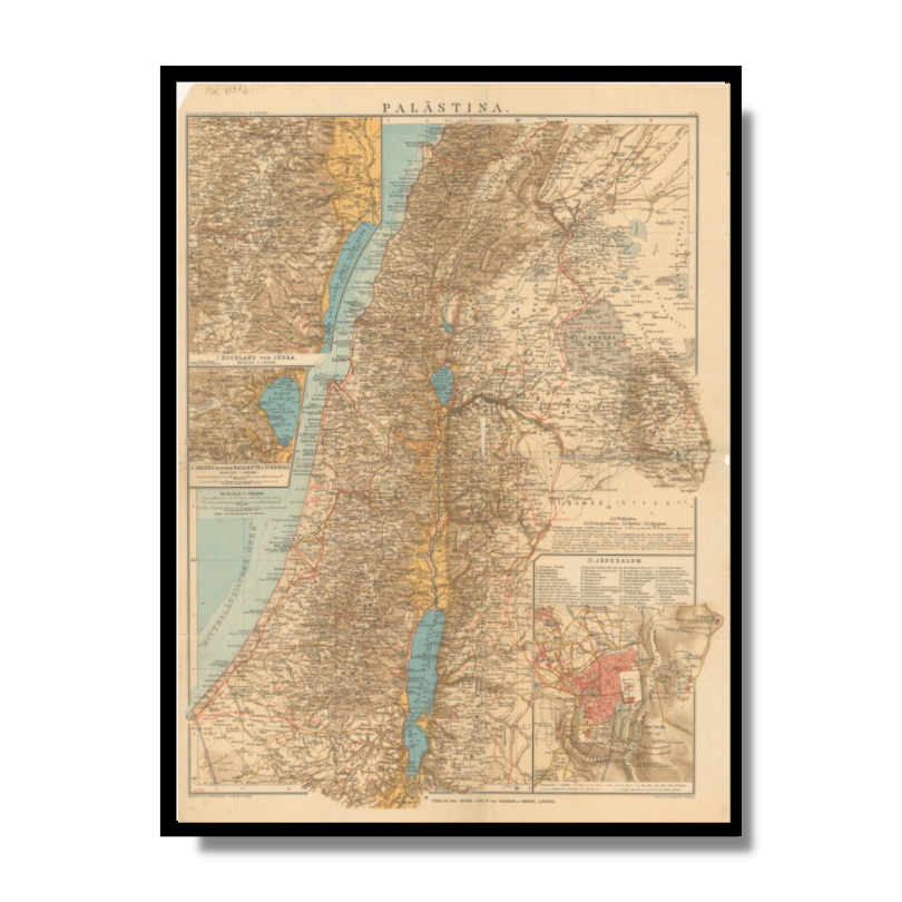
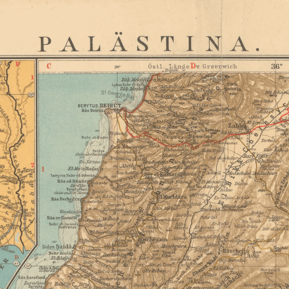
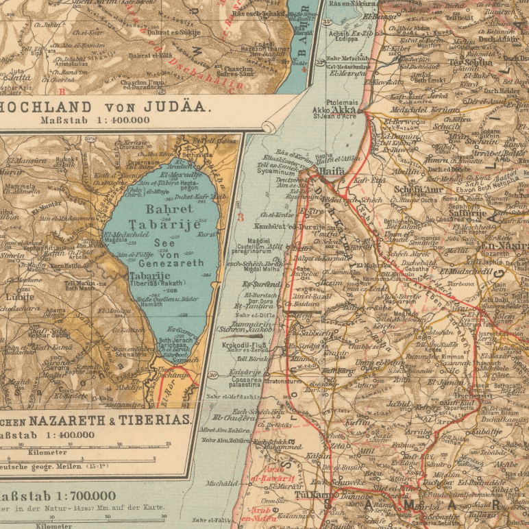
This Kharita™ of Palestine was published in 1926 by Wagner & Debes and was created as a guide for tourists. The map is written in German and contains magnified inset maps of Judea, the area between Nazareth and Tiberias and a Jerusalem town, where the Christian, Jewish, Armenian quarters are highlighted.
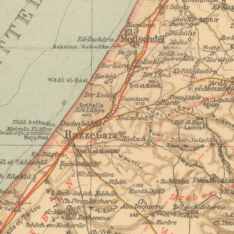
Relief shown by hachures and spot heights.
Map Info
Creator: Wagner & Debes.
Date: 1933
Language(s): German
Scale: 1:700,000
Location: Palestine
| Size | A3, A2, A1, A0 |
|---|
SKU
N/A
Categories All Kharita's, Levant Maps, Palestine Maps, Visually Aesthetic Maps
Tags 20th Century, Palestine
People Also Purchased
-
Postage Stamps Stickers
EGP90.00 -
Frame
From: EGP250.00 -
Postcards Egypt 1826
EGP50.00 -
Magnifying Glass
EGP120.00
Related products
-
A New Map of Cairo 1966
From: EGP460.00 -
Antarctica 1912
From: EGP460.00 -
Bible Lands & The Cradle of Western Civilization 1946
From: EGP460.00 -
Bounds Map of Cairo 1946
From: EGP460.00 -
Damas 1939
From: EGP460.00 -
Eastern & Western Hemispheres 1905
From: EGP460.00 -
El Mina – Tripoli 1958
From: EGP460.00 -
Gaza 1917
From: EGP460.00 -
Guide Plan of Cairo 1949
From: EGP460.00 -
Iran Natural Vegetation 1960-1972
From: EGP460.00 -
Khartoum 1952
From: EGP460.00 -
Map of Arab League States 1960
From: EGP460.00


