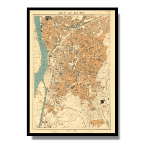
Kuala Lumpur 1957
Kuala Lumpur 1957
From: EGP460.00
| Size | A3, A2, A1, A0 |
|---|
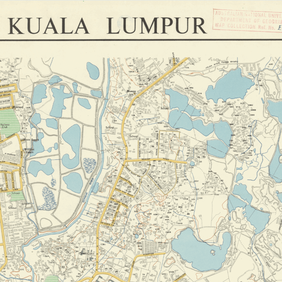
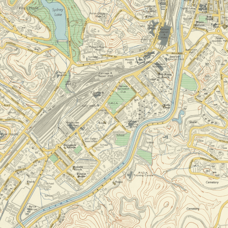
This Kharita™ was originally published by the Survey Department of the Federation of Malaya in 1957, the same year Malaysia gained indpendence from Britain.
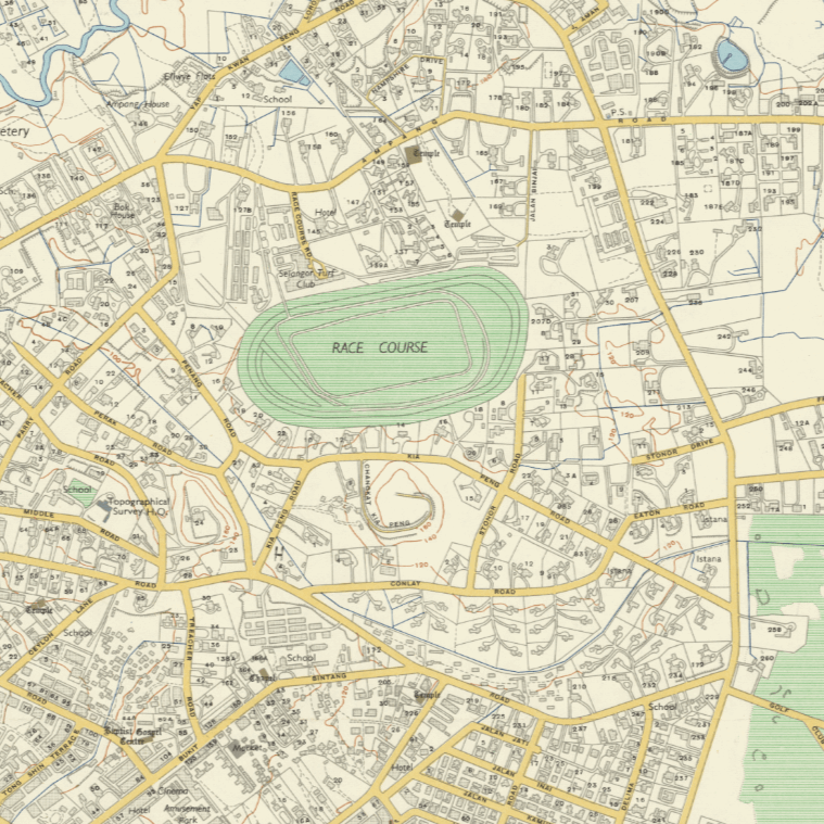
Upon closer inspection, it becomes evident that Kuala Lumpur has experienced a remarkable transformation through extensive urbanization. While certain elements of the city have remained unchanged, there have been substantial additions and removals. One notable transformation is the Petronas Twin Towers, which, in this depiction, appears as a racecourse, possibly intended for horse racing.
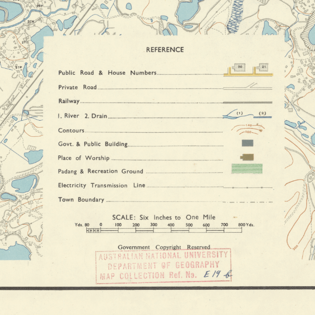
Index shown. Relief shown by hatchures.
Map Info
Creator: Survey Department of the Federation of Malaya
Date: 1957
Language(s): English
Scale: –
Location: Kuala Lumpur, Malaysia
People Also Purchased
-
Postage Stamps Stickers
EGP90.00 -
Frame
From: EGP250.00 -
Postcards Egypt 1826
EGP50.00 -
Magnifying Glass
EGP120.00
Related products
-
A New Map of Cairo 1966
From: EGP460.00 -
Aden 1949
From: EGP460.00 -
Antarctica 1912
From: EGP460.00 -
Bounds Map of Cairo 1946
From: EGP460.00 -
Catholic Missions in Northeastern Africa 1899
From: EGP460.00 -
El Mina – Tripoli 1958
From: EGP460.00 -
Iran-Iraq: Basra 1942
From: EGP460.00 -
Kairo Ägypten 1941
From: EGP460.00 -
Kuwait 1958
From: EGP460.00 -
Lebanon 1926
From: EGP460.00 -
Map of Arab League States 1960
From: EGP460.00 -
Map of Cairo 1914
From: EGP460.00


