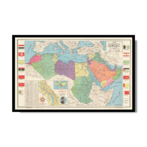
Tourist Map of Japan 1950
Tourist Map of Japan 1950
From: EGP460.00
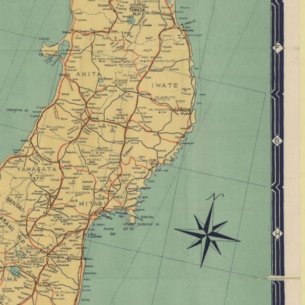
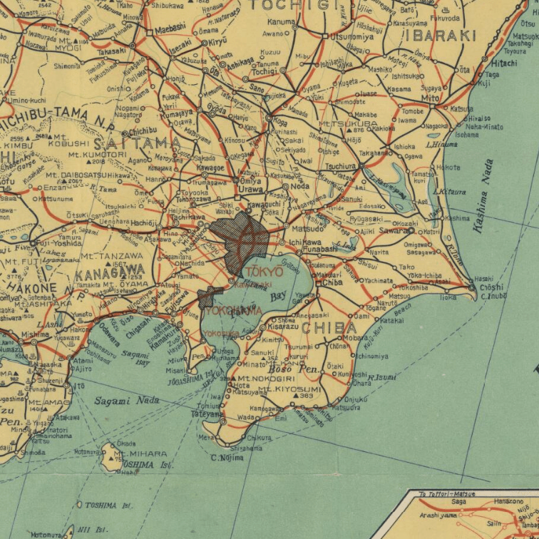
This Kharita™, created by Nihon Kōtsū Kōsha in the mid 20th century served as a tourist map for Japan.
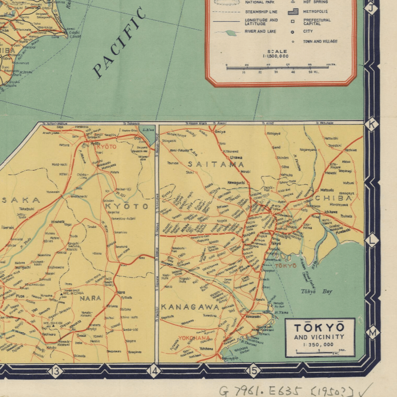
4 inset maps show Hokaido, Osaka, Tokyo and a world map showing airlines routes.
Map also shows national and private railway lines, national and prefectural highways, prefectural boundaries, national parks, steamship lines, longitude and latitude, rivers and lakes, mountains, hot springs, metropolises, prefectural capitals, cities, and towns and villages.
Map Info
Creator: Nihon Kōtsū Kōsha
Date: 1950
Language(s): English
Scale: 1:1,500,000
Location: Japan
| Size | A3, A2, A1, A0 |
|---|
People Also Purchased
-
Postage Stamps Stickers
EGP90.00 -
Frame
From: EGP250.00 -
Postcards Egypt 1826
EGP50.00 -
Magnifying Glass
EGP120.00
Related products
-
Alexandria 1933
From: EGP460.00 -
Antarctica 1912
From: EGP460.00 -
Bible Lands & The Cradle of Western Civilization 1946
From: EGP460.00 -
City of Manila & Vicinity 1955
From: EGP460.00 -
Commercial Map of the Near East 1921
From: EGP460.00 -
Damas 1939
From: EGP460.00 -
Damascus 1916
From: EGP460.00 -
El Mina – Tripoli 1958
From: EGP460.00 -
Geology of the Kingdom of Saudi Arabia 1958
From: EGP460.00 -
Kuala Lumpur 1957
From: EGP460.00 -
Kuwait 1958
From: EGP460.00 -
Map of Arab League States 1960
From: EGP460.00


