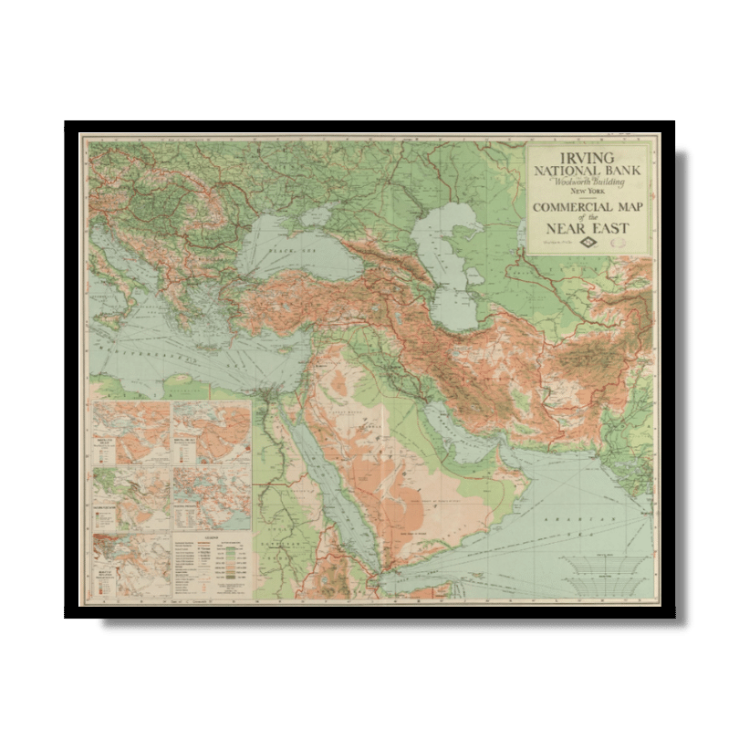
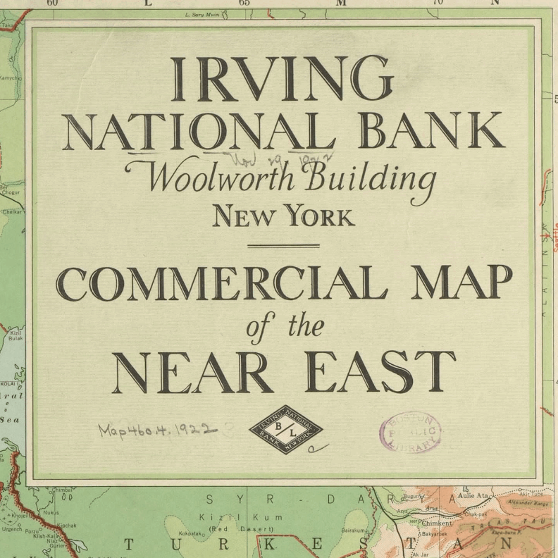
Commercial Map of the Near East 1921
From: EGP460.00
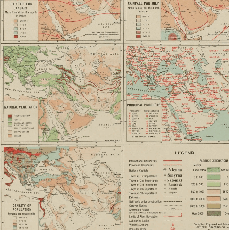
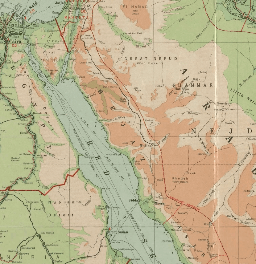
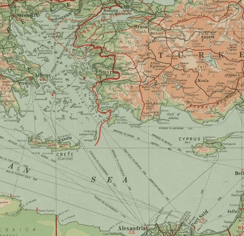
This insightful Kharita™, issued by the Irving National Bank in 1921, was used by businessman in order to understand the geo-economical landscape of the middle east (also knows as the near east) This map shows local agriculture, fisheriees, natural and mineral resources, major cities, chief seaports, direction of trade, principal railways, and navigable rivers. The map is color–coded to show terrain features that effect trade, including deserts and marshlands, lands below sea level, lowlands, uplands and plateaus, older worn down mountains, and younger rugged mountains as well as highlighting the major trade centers in the region
Map Info
Creator: General Drafting Company
Date: 1921
Language(s): English
Scale: approximately 1:5,480,000 – 1:8,500,000
Location: Middle East
| Size | A3, A2, A1, A0 |
|---|
People Also Purchased
-
Postage Stamps Stickers
EGP90.00 -
Frame
From: EGP250.00 -
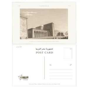
Postcards Egypt 1826
EGP50.00 -
Magnifying Glass
EGP120.00
Related products
-
A New Map of Cairo 1966
From: EGP460.00 -
Antarctica 1912
From: EGP460.00 -
Bible Lands & The Cradle of Western Civilization 1946
From: EGP460.00 -
Bounds Map of Cairo 1946
From: EGP460.00 -
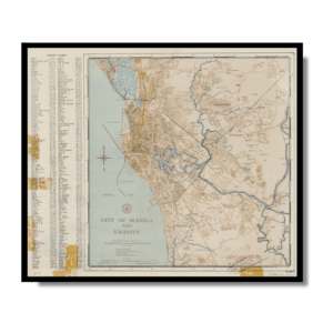
City of Manila & Vicinity 1955
From: EGP460.00 -
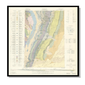
Geology of the Kingdom of Saudi Arabia 1958
From: EGP460.00 -
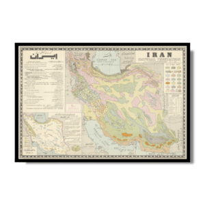
Iran Natural Vegetation 1960-1972
From: EGP460.00 -
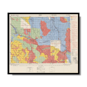
Iran-Iraq: Basra 1942
From: EGP460.00 -
Lebanon 1926
From: EGP460.00 -
Map of Arab League States 1960
From: EGP460.00 -
Map of Cairo 1914
From: EGP460.00 -
Map of Cairo Showing Mohammedan Monuments 1950
From: EGP460.00

