| Size | A3, A2, A1, A0 |
|---|
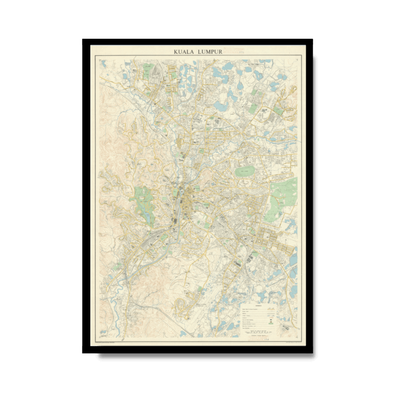
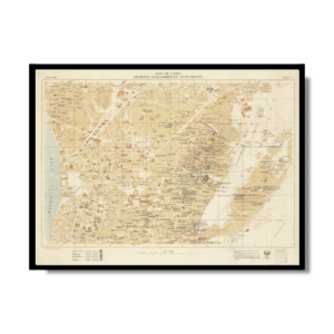
Kuala Lumpur 1957
From: EGP550.00
A3 & A2 — Smaller & Versatile
A3: 29.7 × 42 cm · A2: 42 × 59.4 cm
Great for smaller spaces and simpler maps. Maps with lots of names, roads, borders, or fine details may be harder to read at these sizes.
A1 & A0 — Large & Detailed
A1: 59.4 × 84.1 cm · A0: 84.1 × 118.9 cm
Best for detailed maps. Larger sizes make the content easier to read and create a stronger statement piece on your wall.
Keep in mind
A3, A2, A1 and A0 are standard paper sizes. Historical maps come in different proportions, so the map itself may not fill the entire sheet and its final dimensions can vary.
✪ Heavyweight matte paper at 150 g/sqm
✪ Frame not included
✪ Package comes with shipping tube
NOTICE: International Shipping Temporarily On Hold.
After you place an order, you will receive an email confirming that we have received your order and are processing it. Orders usually take 2–12 business days to arrive.
We do not offer refunds on our maps as they are printed per order. You may request an exchange within 30 days if the item is in good condition.
Visit our Shipping & Returns page for more details.
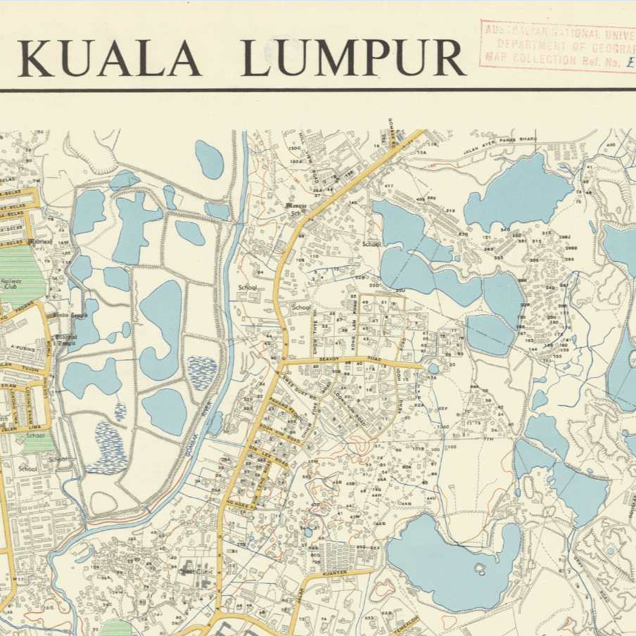
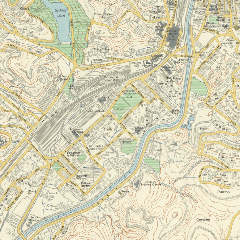
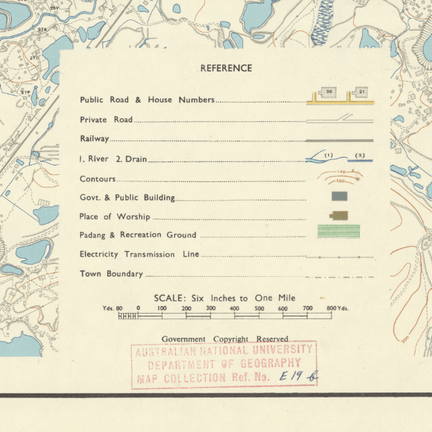
This Kharita™ was originally published by the Survey Department of the Federation of Malaya in 1957, the same year Malaysia gained indpendence from Britain.
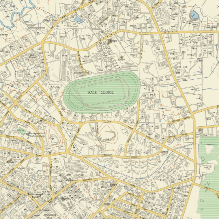
Upon closer inspection, it becomes evident that Kuala Lumpur has experienced a remarkable transformation through extensive urbanization. While certain elements of the city have remained unchanged, there have been substantial additions and removals. One notable transformation is the Petronas Twin Towers, which, in this depiction, appears as a racecourse, possibly intended for horse racing.
Index shown. Relief shown by hatchures.
Map Info
Creator: Survey Department of the Federation of Malaya
Date: 1957
Language(s): English
Scale: –
Location: Kuala Lumpur, Malaysia
People Also Purchased
Related products
-
Alexandria 1933
From: EGP550.00 -
Bible Lands & The Cradle of Western Civilization 1946
From: EGP550.00 -
Catholic Missions in Northeastern Africa 1899
From: EGP550.00 -
Commercial Map of the Near East 1921
From: EGP550.00 -
Damas 1939
From: EGP550.00 -
El Mina – Tripoli 1958
From: EGP550.00 -
Iran Natural Vegetation 1960-1972
From: EGP550.00 -
Japanese Map of China 1909
From: EGP550.00 -
Jerusalem 1942
From: EGP550.00 -
Kuwait 1958
From: EGP550.00 -
Lebanon 1926
From: EGP550.00 -
Map of Cairo Showing Mohammedan Monuments 1950
From: EGP550.00