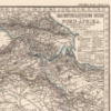
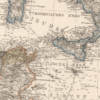
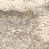
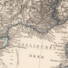
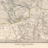
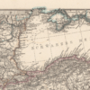
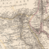
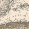
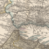
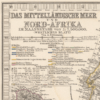
The Mediterranean 1875
The Mediterranean 1875
From: EGP570.00
This Kharita™ is part of Adolf Stieler’s Hand atlas of the world and of the universe. Published by Justus Perthes of Gotha. It went through ten editions from 1816 to 1945. The first edition, published in 1817 by Stieler and Christian Gottlieb Reichard, with editions continuing well into the 20th century. This is the 6th. edition, with 90 maps dated 1871–75, edited by August Petermann, Hermann Berghaus and Carl Vogel.
This copy depicts the Mediterranean stretching from morocco to as far as iran. The Map shows political and administrative boundaries, cities, roads, railroads, canals, rivers, lakes, and mountains. Also showing European possessions and exploration routes.
Relief shown by hachures and spot heights. Depths showing by soundings. Prime meridians: Greenwich, Ferro and Paris. Includes legend, text, profiles, and color coded references.
Map Info
Creator: Adolf Stieler
Date: 1875
Language(s): German
Scale: 1:7,500,000
Location: Mediterranean
| Size | A2, A1, A0 |
|---|
SKU
N/A
Categories All Kharita's, Historically Significant, North Africa Maps, Regional Maps, Visually Aesthetic Maps Tags 19th Century, Algeria, Egypt, Europe, Iran, Iraq, Jordan, Lebanon, Libya, Morocco, Palestine, Syria, Tunisia, Turkey
People Also Purchased
-
Postage Stamps Stickers
EGP90.00 -
Postcards Egypt 1826
EGP50.00 -
Frame
From: EGP250.00 -
Magnifying Glass
EGP120.00
Related products
-
Antarctica 1912
From: EGP460.00 -
Bounds Map of Cairo 1946
From: EGP460.00 -
Damas 1939
From: EGP460.00 -
Kairo Ägypten 1941
From: EGP460.00 -
Map of Cairo 1914
From: EGP460.00 -
Map of Northern Sinai 1914
From: EGP460.00 -
Orographic map of the Dardanelles 1915
From: EGP460.00 -
Palästina 1926
From: EGP460.00 -
Partition of Palestine 1949
From: EGP460.00 -
Soviet Map of Basra 1979
From: EGP460.00 -
Tectonic Map of the Arabian Peninsula 1978
From: EGP460.00 -
The Daily Telegraph: War Map of Egypt and the Near East 1918
From: EGP460.00


