This 1937 pictorial Kharita details the development of the Sino-Japanese Conflict and the relationship of the Soviet Union and Japan at that time.
Includes numerous pictorial illustrations of people in their respective region on the map. Names of major cities are given, and several charts, such as a chronological chart of development of Sino-Japanese War and the chart of Soviet Union’s army’s armaments.
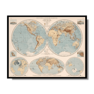
Relief shown by shading and pictorially.
Map Info
Creator: Ishida Eisuke
Date: 1937
Language(s): Japanese
Scale: –
Location: East Asia
✪ Heavyweight matte paper at 150 g/sqm
✪ Frame not included
✪ Package comes with shipping tube
NOTICE: International Shipping Temporarily On Hold.
After you place an order, you will receive an email confirming that we have received your order and are processing it. Orders usually take 2–12 business days to arrive.
We do not offer refunds on our maps as they are printed per order. You may request an exchange within 30 days if the item is in good condition.
Visit our Shipping & Returns page for more details.