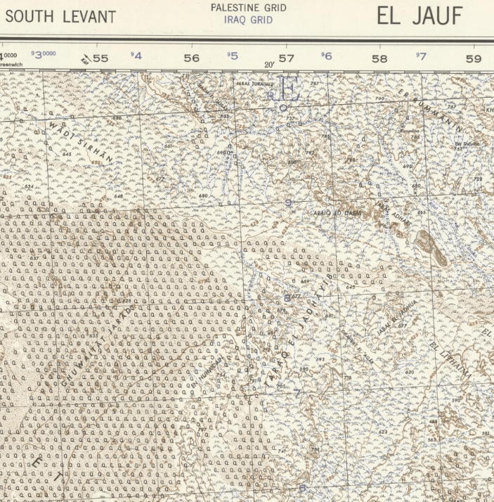
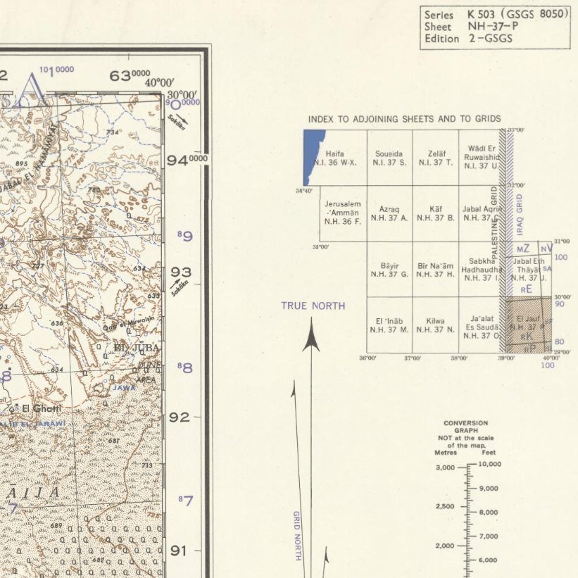
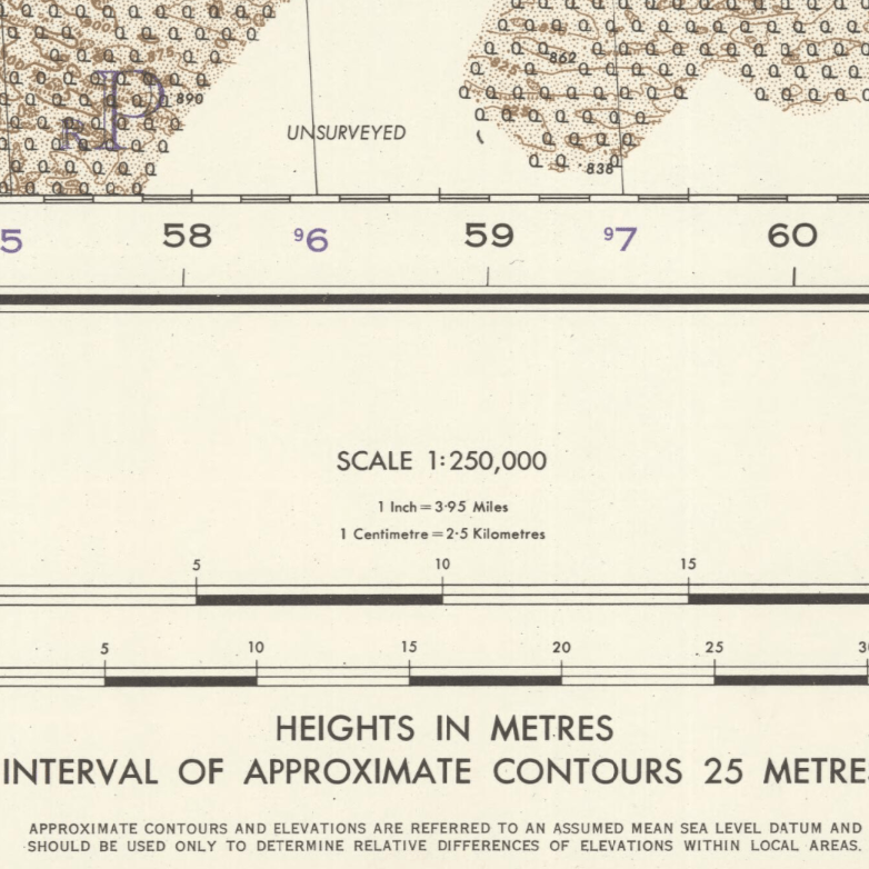
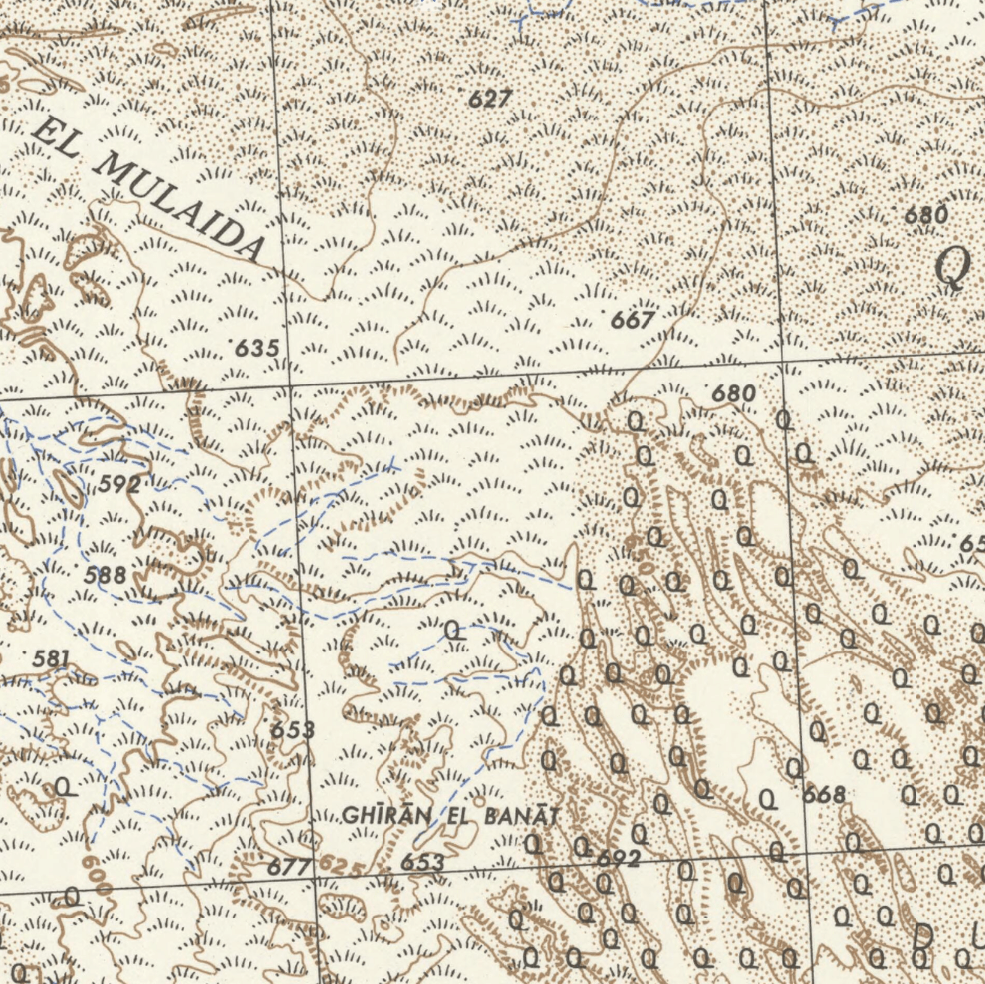
South Levant: El Jauf 1951
South Levant: El Jauf 1951
From: EGP460.00
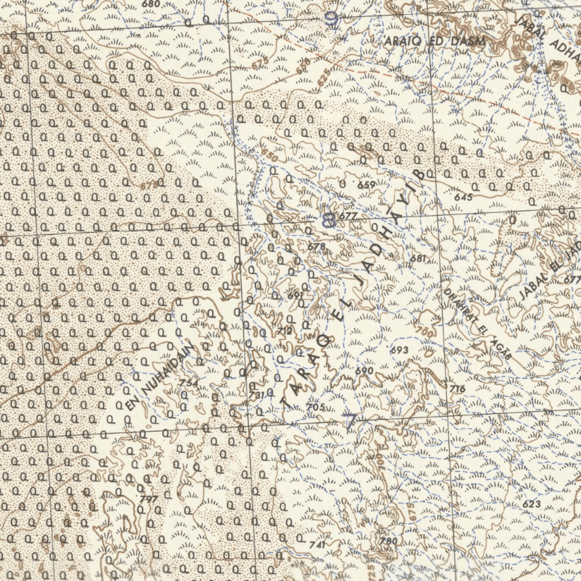
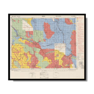
This Kharita™ depicts the Saudi Arabian province El Jauf, showing international boundaries, transportation, communications, ground and water features, vegetation, oil pipelines, power lines, public police, military, religious and archaeological buildings and sites and populated places.
Relief shown by contours, hachures and spot heights.
Map Info
Creator: Great British War Office
Date: 1951
Language(s): English
Scale: 1:250,000
Location: El Jauf, Saudi Arabia
| Size | A3, A2, A1, A0 |
|---|
SKU
N/A
Categories All Kharita's, Gulf Maps, Levant Maps, Maps by British War Office
Tags 20th Century, Saudi Arabia
People Also Purchased
-
Postage Stamps Stickers
EGP90.00 -
Frame
From: EGP250.00 -
Postcards Egypt 1826
EGP50.00 -
Magnifying Glass
EGP120.00
Related products
-
Bible Lands & The Cradle of Western Civilization 1946
From: EGP460.00 -
Catholic Missions in Northeastern Africa 1899
From: EGP460.00 -
Damietta 1941
From: EGP460.00 -
El Mina – Tripoli 1958
From: EGP460.00 -
Geological Map of Anatolia 1920
From: EGP460.00 -
Guide Plan of Cairo 1949
From: EGP460.00 -
Iran-Iraq: Basra 1942
From: EGP460.00 -
Japanese Map of China 1909
From: EGP460.00 -
Kuala Lumpur 1957
From: EGP460.00 -
Lebanon 1926
From: EGP460.00 -
Map of Arab League States 1960
From: EGP460.00 -
Map of Cairo 1914
From: EGP460.00


