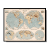
Eastern & Western Hemispheres 1905
Eastern & Western Hemispheres 1905
From: EGP460.00
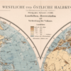
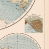
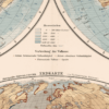
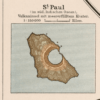
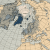
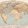
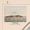
This Kharita™ shows the Western and Eastern Hemisphere as well as 3 inset maps which provide angular views of the north pole and Antarctica plus images of St. Paul, and Vesuv.
Relief shown by shadings and spot heights. Depth shown by hachures, gradient tints and soundings.
Map Info
Creator: Richard Andree, Albert Scobel
Date: 1905
Language(s): German
Scale: 1:75,000,000
Location: World
| Size | A3, A2, A1, A0 |
|---|
SKU
N/A
Categories All Kharita's, Regional Maps, Visually Aesthetic Maps Tags 20th Century, Regional Map, World Maps
People Also Purchased
-
Postage Stamps Stickers
EGP90.00 -
Postcards Egypt 1826
EGP50.00 -
Frame
From: EGP250.00 -
Magnifying Glass
EGP120.00
Related products
-
Alexandria 1933
From: EGP460.00 -
Angling In Troubled Waters: a Comic Map of Europe 1899
From: EGP460.00 -
Antarctica 1912
From: EGP460.00 -
Beyrouth 1961
From: EGP460.00 -
Commercial Map of the Near East 1921
From: EGP460.00 -
Des Spheres 1786
From: EGP460.00 -
Map of Northern Sinai 1914
From: EGP460.00 -
Middle & North Africa 1830
From: EGP460.00 -
Middle East and Arabia 1766
From: EGP460.00 -
Political Map of Africa 1917
From: EGP460.00 -
Port Said 1941
From: EGP460.00 -
Soviet Map of Basra 1979
From: EGP460.00


