Bible Lands & The Cradle of Western Civilization 1946
Bible Lands & The Cradle of Western Civilization 1946
From: EGP460.00
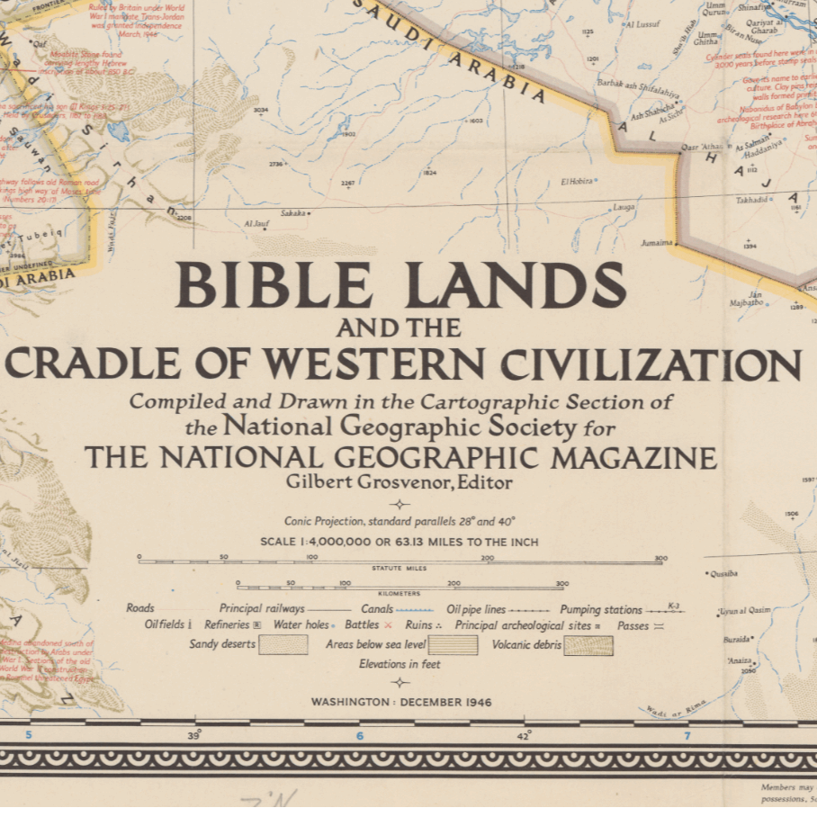
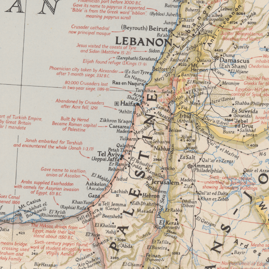
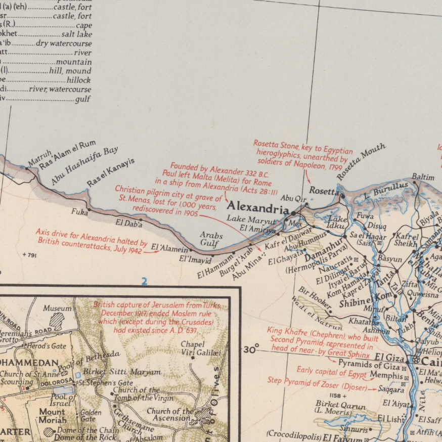
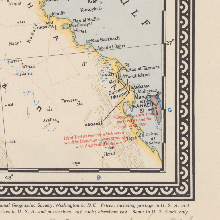
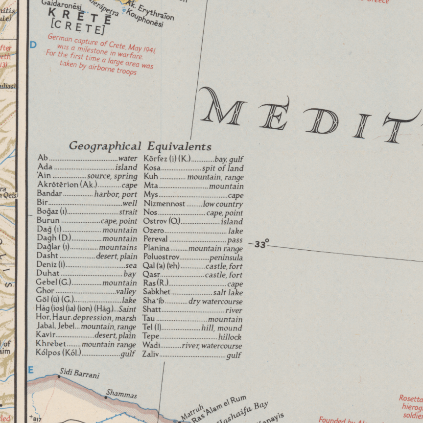
This Kharita™ was issued in 1946 by the National geographic magazine, v. 90, no. 6. It Includes numerous historical notes covering events from earliest times to the present.
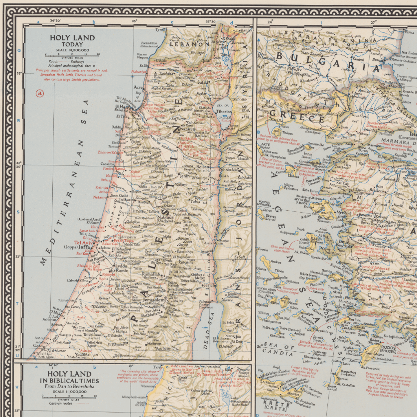
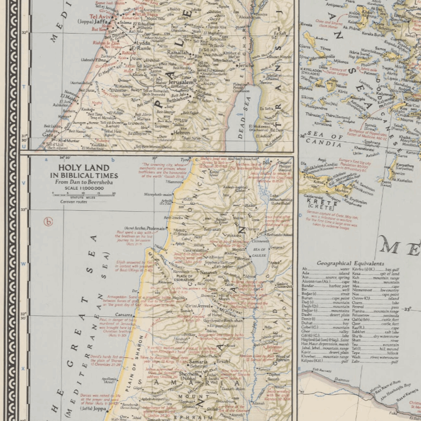
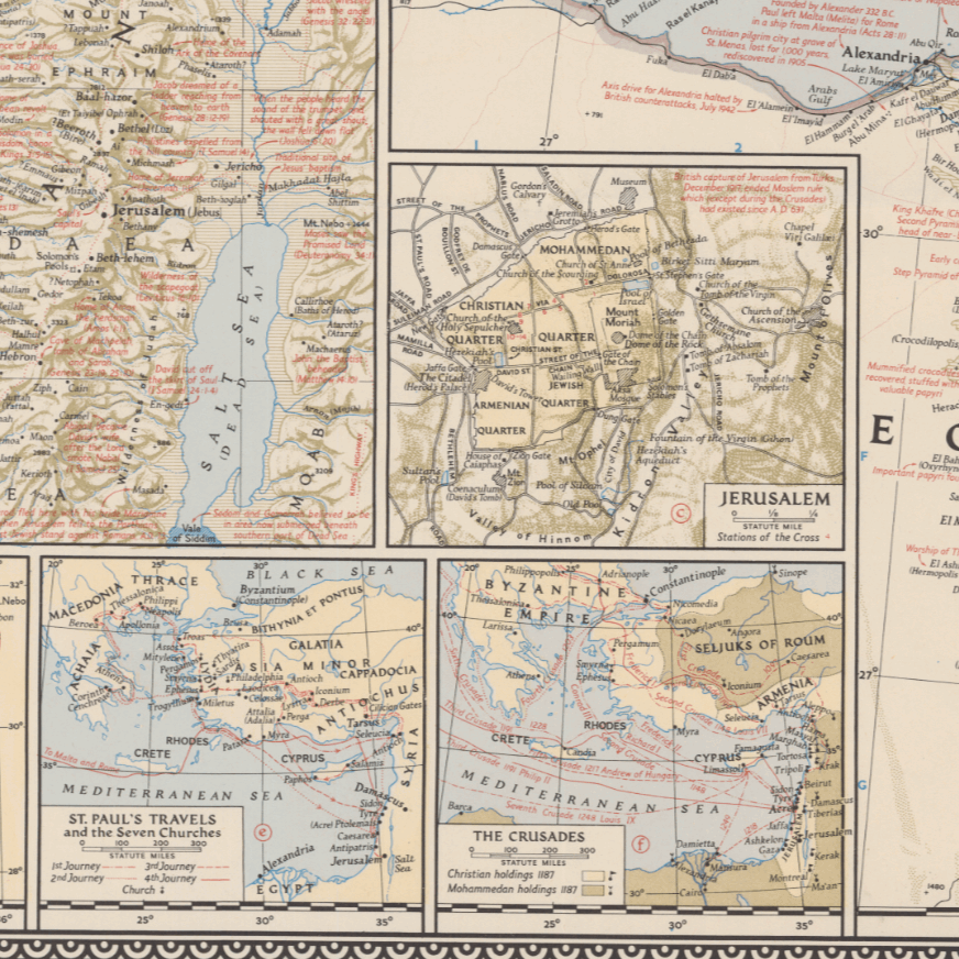
6 inset maps are displayed on the right hand side of the map, with the titles of:
- Holy Land today
- Holy Land in Biblical times from Dan to Beersheba
- Jerusalem
- Traditional route of the Exodus
- St. Paul’s travels and the seven churches.
- The crusades
It is worth mentioning that there is no mention of the state of Israel anywhere on this map as Israel was only officially recognized in 1948-two years after this map was issued.
Map Info
Creator: National Geographic Society (U.S.). Cartographic Division
Date: 1946
Language(s): English
Scale: 1:4000000
Location: Middle East
| Size | A3, A2, A1, A0 |
|---|
SKU
N/A
Categories All Kharita's, Historically Significant, Regional Maps
Tags 20th Century, Iran, Iraq, Lebanon, Middle East, Palestine, Regional Map, Saudi Arabia, Syria, Turkey, USSR
People Also Purchased
-
Postage Stamps Stickers
EGP90.00 -
Frame
From: EGP250.00 -
Postcards Egypt 1826
EGP50.00 -
Magnifying Glass
EGP120.00
Related products
-
Bounds Map of Cairo 1946
From: EGP460.00 -
City of Manila & Vicinity 1955
From: EGP460.00 -
Eastern & Western Hemispheres 1905
From: EGP460.00 -
Gaza 1917
From: EGP460.00 -
Himalayas 1951
From: EGP460.00 -
Iran-Iraq: Basra 1942
From: EGP460.00 -
Jerusalem 1942
From: EGP460.00 -
Khartoum 1952
From: EGP460.00 -
Kuala Lumpur 1957
From: EGP460.00 -
Lebanon 1926
From: EGP460.00 -
Map of Arab League States 1960
From: EGP460.00 -
Map of Cairo Showing Mohammedan Monuments 1950
From: EGP460.00


