Damas 1939
Damas 1939
From: EGP460.00
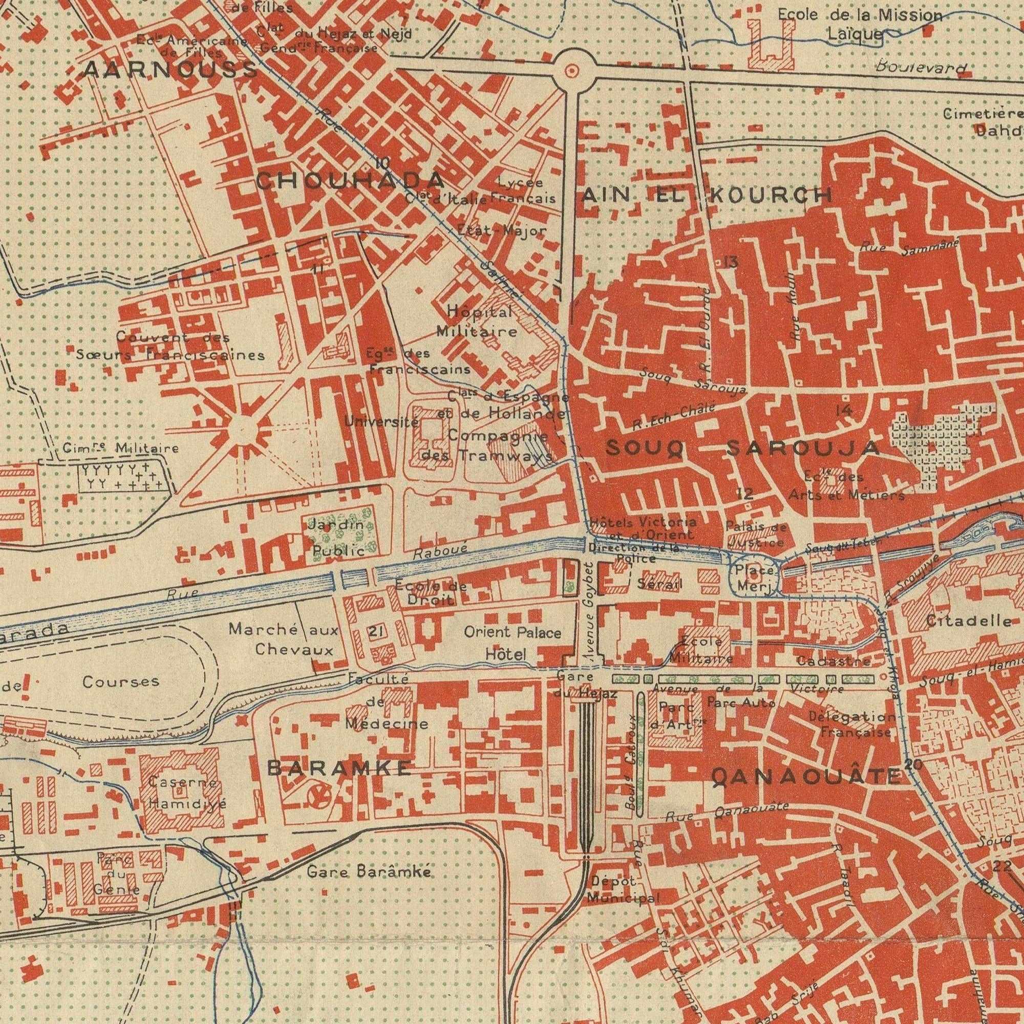
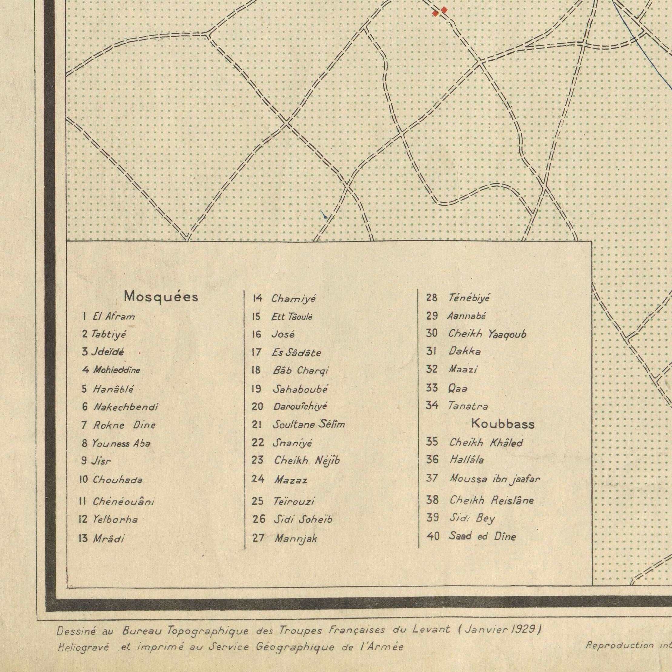
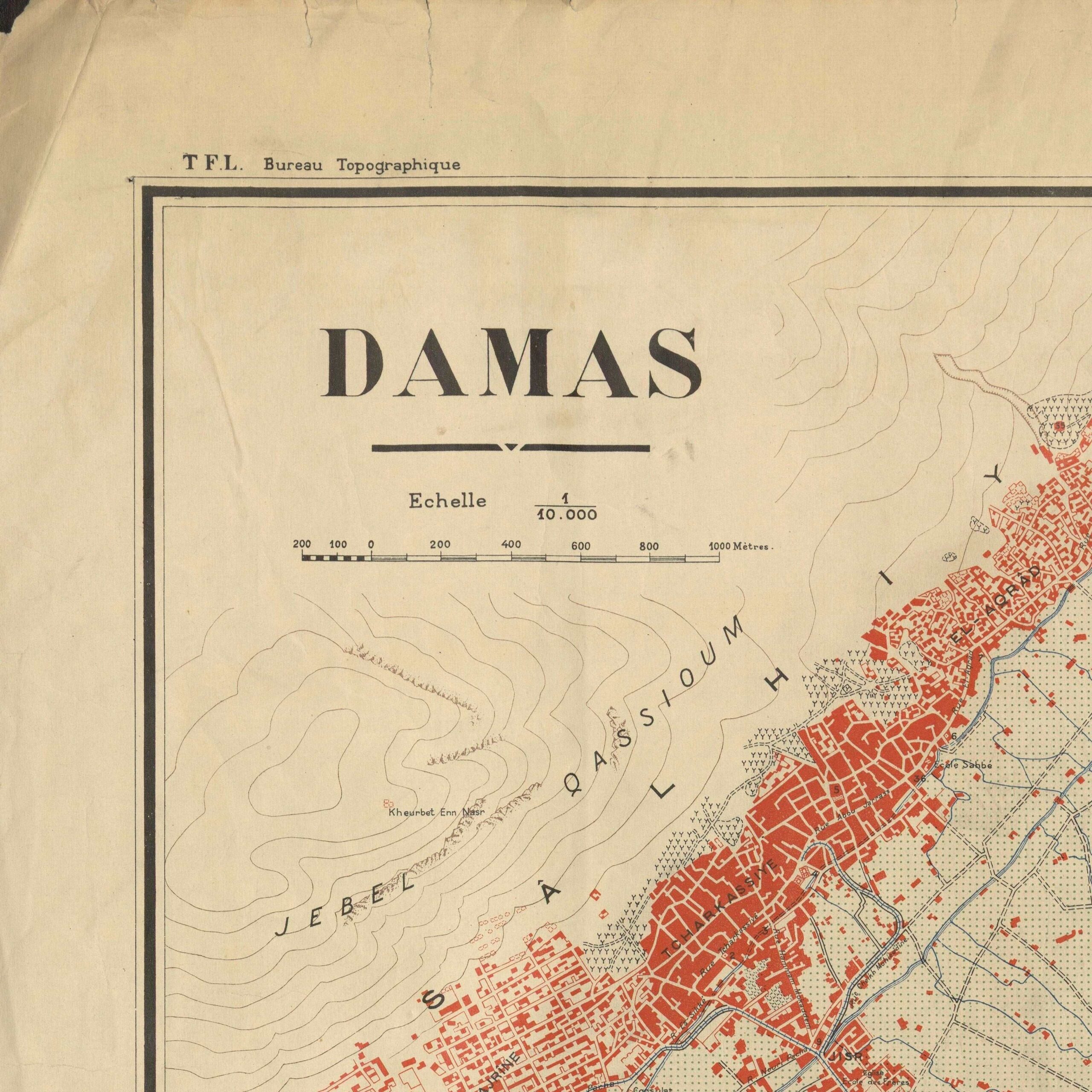
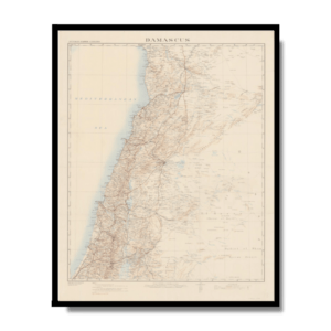
This iconic Kharita™ of Damascus, Syria. was developed by the French Army of the Levant in 1939. It is a great symbol of the French colonialism in the region.
Map Info
Creator: France. Bureau Topographique de l’Armée française du Levant
Date: 1939
Language(s): French
Scale: 1: 10,000
Location: Damascus, Syria
| Size | 26.5 x 40, 40 x 53, 53 x 80 |
|---|
People Also Purchased
-
Postage Stamps Stickers
EGP90.00 -
Frame
From: EGP250.00 -
Postcards Egypt 1826
EGP50.00 -
Magnifying Glass
EGP120.00
Related products
-
Alexandria 1933
From: EGP460.00 -
Antarctica 1912
From: EGP460.00 -
Beyrouth 1961
From: EGP460.00 -
Bible Lands & The Cradle of Western Civilization 1946
From: EGP460.00 -
Bounds Map of Cairo 1946
From: EGP460.00 -
Classified Map of Secret Nazi Transport Routes 1941
From: EGP460.00 -
Commercial Map of the Near East 1921
From: EGP460.00 -
Damascus 1916
From: EGP460.00 -
Geological Map of Anatolia 1920
From: EGP460.00 -
Geology of the Kingdom of Saudi Arabia 1958
From: EGP460.00 -
Iran Natural Vegetation 1960-1972
From: EGP460.00 -
Map of Cairo 1914
From: EGP460.00


