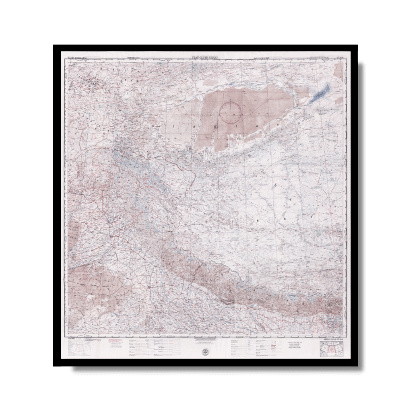
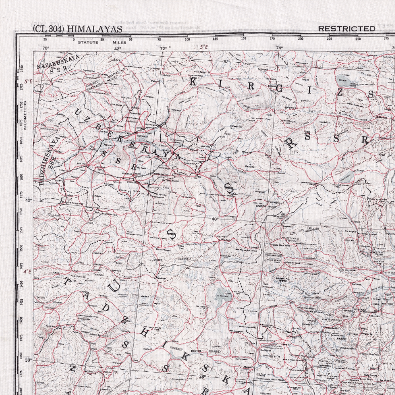
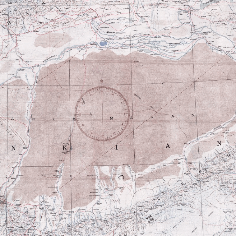
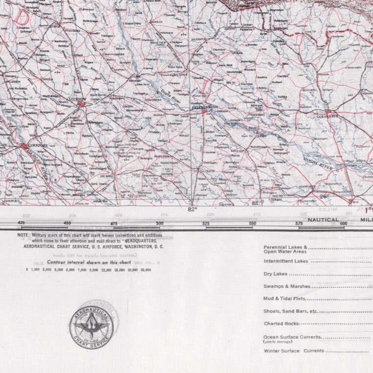
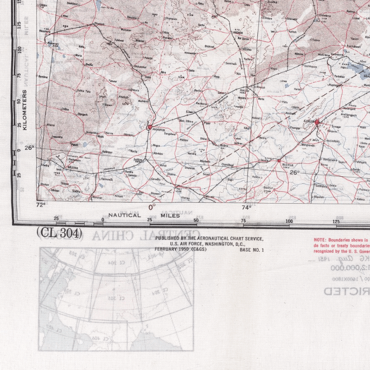
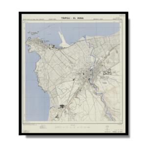
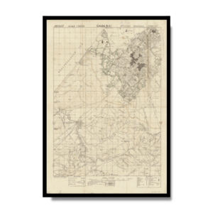
This Kharita, created by the U.S. Air Force in 1951, gives a detailed lithographic view of northern reaches of India, the Himalayas, beyond Tibet and into the southern reaches of the U.S.S.R. It also includes a vast portion of China, Mongolia and neighboring nations of Bhutan, Burma and neighboring lands to the south.
Map Info
Creator: U.S. Air Force
Date: 1951
Language(s): English
Scale: 1:2,000,000
Location: Himalayas
✪ Heavyweight matte paper at 150 g/sqm
✪ Frame not included
✪ Package comes with shipping tube
NOTICE: International Shipping Temporarily On Hold.
After you place an order, you will receive an email confirming that we have received your order and are processing it. Orders usually take 2–12 business days to arrive.
We do not offer refunds on our maps as they are printed per order. You may request an exchange within 30 days if the item is in good condition.
Visit our Shipping & Returns page for more details.
 Skip to content