Map of The Far East 1946
Map of The Far East 1946
From: EGP570.00
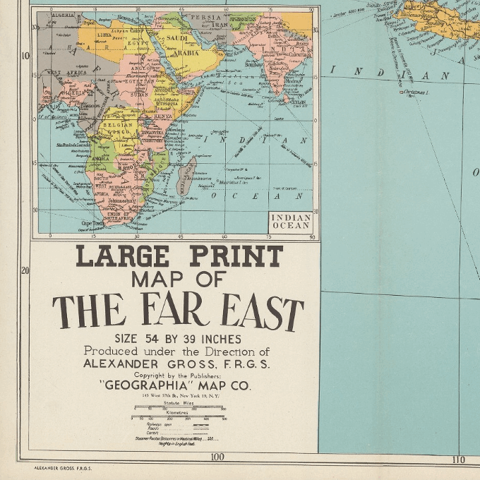
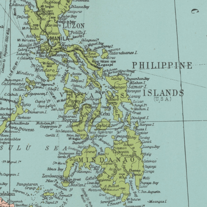
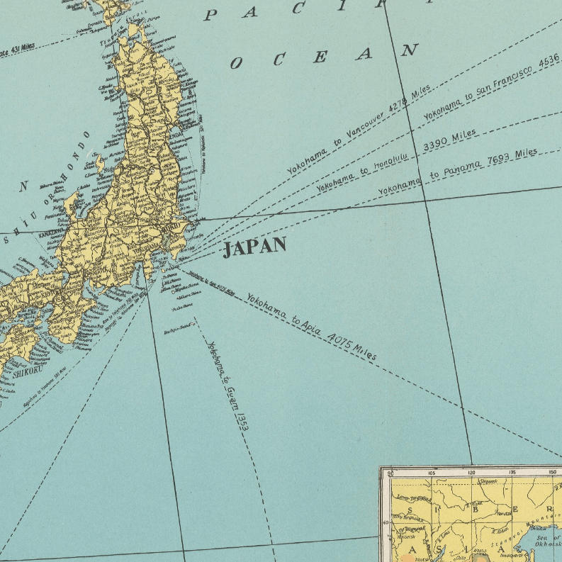
This Kharita™ shows political divisions, cities, towns, major roads, railroads, rivers, lakes, canals, mountains, steamer routes and distances. Relief shown by hachures and spot heights.
Date estimated. Relief shown by hachures. and spot heights. Date estimated. Includes a separate
Map Info
Creator: Alexander Gross
Date: 1946
Language(s): English
Scale: 8,500,000
Location: East Asia
| Size | A2, A1, A0 |
|---|
SKU
N/A
Categories All Kharita's, Far East Maps, Historically Significant, Regional Maps, Visually Aesthetic Maps
Tag 20th Century
People Also Purchased
-
Postage Stamps Stickers
EGP90.00 -
Frame
From: EGP250.00 -
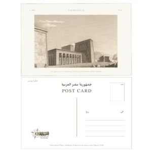
Postcards Egypt 1826
EGP50.00 -
Magnifying Glass
EGP120.00
Related products
-
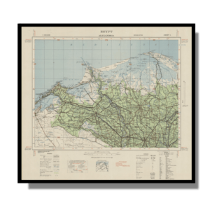
Alexandria 1933
From: EGP460.00 -
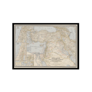
Bible Lands & The Cradle of Western Civilization 1946
From: EGP460.00 -
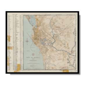
City of Manila & Vicinity 1955
From: EGP460.00 -
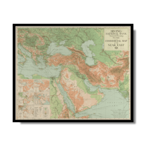
Commercial Map of the Near East 1921
From: EGP460.00 -
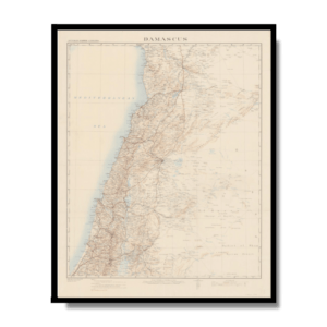
Damascus 1916
From: EGP460.00 -
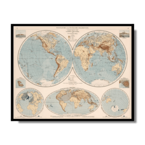
Eastern & Western Hemispheres 1905
From: EGP460.00 -
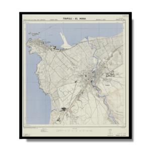
El Mina – Tripoli 1958
From: EGP460.00 -
Gaza 1917
From: EGP460.00 -
Geology of the Kingdom of Saudi Arabia 1958
From: EGP460.00 -
Guide Plan of Cairo 1949
From: EGP460.00 -
Iran-Iraq: Basra 1942
From: EGP460.00 -
Kuwait 1958
From: EGP460.00


