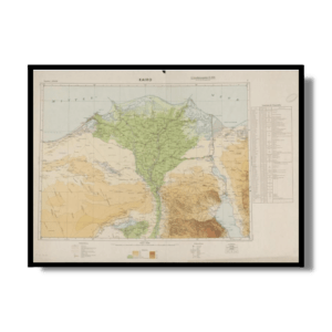
This Kharita™ shows the port of Alexandria, Egypt, in 1882. Featuring railways, streets, bridges, drainage, docks and soundings, with depths given in meters. Includes a bar scale and compass rose, with north oriented toward top-right of sheet. Lithograph in black, white and green. With inset map: [New Port].
Map Info
Creator: France. Ministère des travaux publics
Date: 1882
Language(s): French
Scale: 1:20,000
Location: Alexandria, Egypt
✪ Heavyweight matte paper at 150 g/sqm
✪ Frame not included
✪ Package comes with shipping tube
NOTICE: International Shipping Temporarily On Hold.
After you place an order, you will receive an email confirming that we have received your order and are processing it. Orders usually take 2–12 business days to arrive.
We do not offer refunds on our maps as they are printed per order. You may request an exchange within 30 days if the item is in good condition.
Visit our Shipping & Returns page for more details.