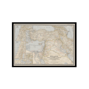
This is a Topographic Kharita™ of Libya, in Arabic and English. by the U.S. Geological Survey under the joint sponsorship of the United Kingdom of Libya Relief shown by contours, hachures and spot heights. Depths shown by isolines.
In the wake of World War II, Libya, having been liberated from three decades of Italian colonial occupation, went through a period of reorganization and unification before coming under the rule of King Idris (reigned 1951-69), a Senussi religious leader. Libya was one of the poorest nations in the world, and the king courted friendly relations with Western powers in order to attract investment.
Libya was long known to possess geological deposits that could potentially yield hydrocarbons in significant quantities. Idris invited foreign petroleum companies, especially American firms, to explore the country for oil fields. depicting all cities, town and villages; major roads; caravan trials; airports; railways; and areas of vegetation Also included is a glossary translating Arabic and Berber geographical terms into English.
The present map was considered vitally useful to oil companies and civil authorities during the great boom in petroleum production in the 1960s that made Libya into the 13th largest oil producer in he world. The country saw massive investment from American and European oil companies that utterly transformed Libya’s state revenues. Popular discontent, in good part due to the grossly unequal distribution of the oil wealth, allowed Colonel Muammar Gaddafi to mount a bloodless coup on September 1, 1969, toppling Idris’s regime. Gaddafi launched an eccentric Socialist dictatorship that he later called the Jamahiriya (“State of the Masses”), which was to be fuelled by the country’s oil revenues. Gaddafi’s overthrow during the Arab Spring in 2011 plunged Libya into turmoil, and while the country still produces some oil, the enduring civil unrest had destroyed much infrastructure, severely limiting production. As of today, it unclear when, or if, Libya will return to being a major petroleum producer.