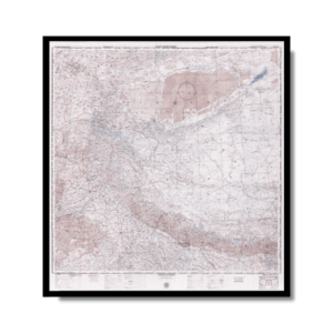
This Kharita™ shows Sudan’s administrative and political divisions during the 60s. The map is colour coded to show the “stage” of the region, or its political influence. There are 5 stages light red, dark red, light green and dark green (in order of increasing political influence). Also visible on the map is: international boundaries, province boundaries, railways, telegraph lines, council boundaries and municipal boundaries.
Sudan was once the largest and possibly the most geographically diverse state in Africa, however in July 2011 it split into two countries after the people of the south voted for independence. This map shows no mention of South Sudan as it was created half a century before the split.
Map Info
Creator: Sudan. Maṣlaḥat al-Misāḥah
Date: 1961
Language(s): English
Scale: 1:4,000,000
Location: Sudan
✪ Heavyweight matte paper at 150 g/sqm
✪ Frame not included
✪ Package comes with shipping tube
NOTICE: International Shipping Temporarily On Hold.
After you place an order, you will receive an email confirming that we have received your order and are processing it. Orders usually take 2–12 business days to arrive.
We do not offer refunds on our maps as they are printed per order. You may request an exchange within 30 days if the item is in good condition.
Visit our Shipping & Returns page for more details.